Transport Functions
Road
Multimodal
Hub Profile
Place type
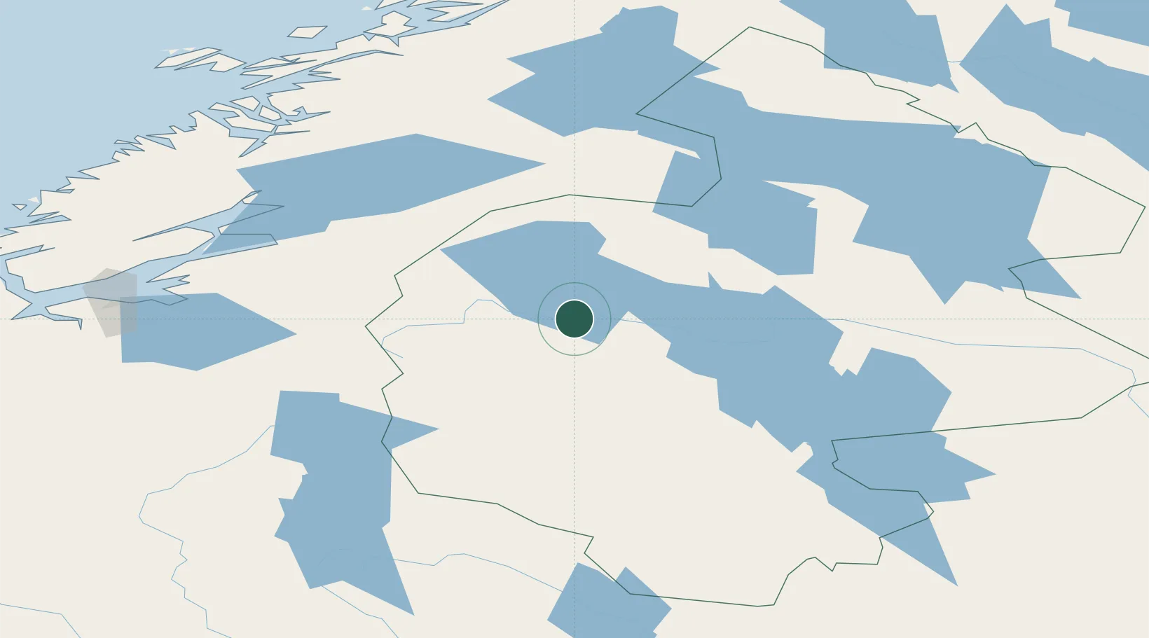
Populated place
Region
Jämtland
Population
573
Time zone
Europe/Stockholm
Elevation
445 m
Location
Nearby Logistics Neighbours
Cities
- 1Åre11 km
- 2Ånn37 km
- 3Krokom59 km
- 4Dvaersaett59 km
- 5Kopperå71 km
Ports
- 1Levanger108 km
- 2Fiborgtangen113 km
- 3Steinkjer116 km
- 4Langstein121 km
- 5Muruvik121 km
Airports
- 1Åre Östersund Airport64 km
- 2Trondheim Airport, Værnes118 km
- 3Røros Airport129 km
- 4Namsos Airport151 km
- 5Sveg Airport155 km
Trade Zones
- 1Stockholm Free Zone513 km
- 2Turku Free Zone568 km
- 3Jönköping Free Zone621 km
- 4Gothenburg Boundless Customs Warehouse631 km
- 5Freeport of Hanko640 km
DatabookThe Record of Consolidated Knowledge
Sweden beyond logistics?