Transport Functions
Rail
Road
Hub Profile
Place type
District seat
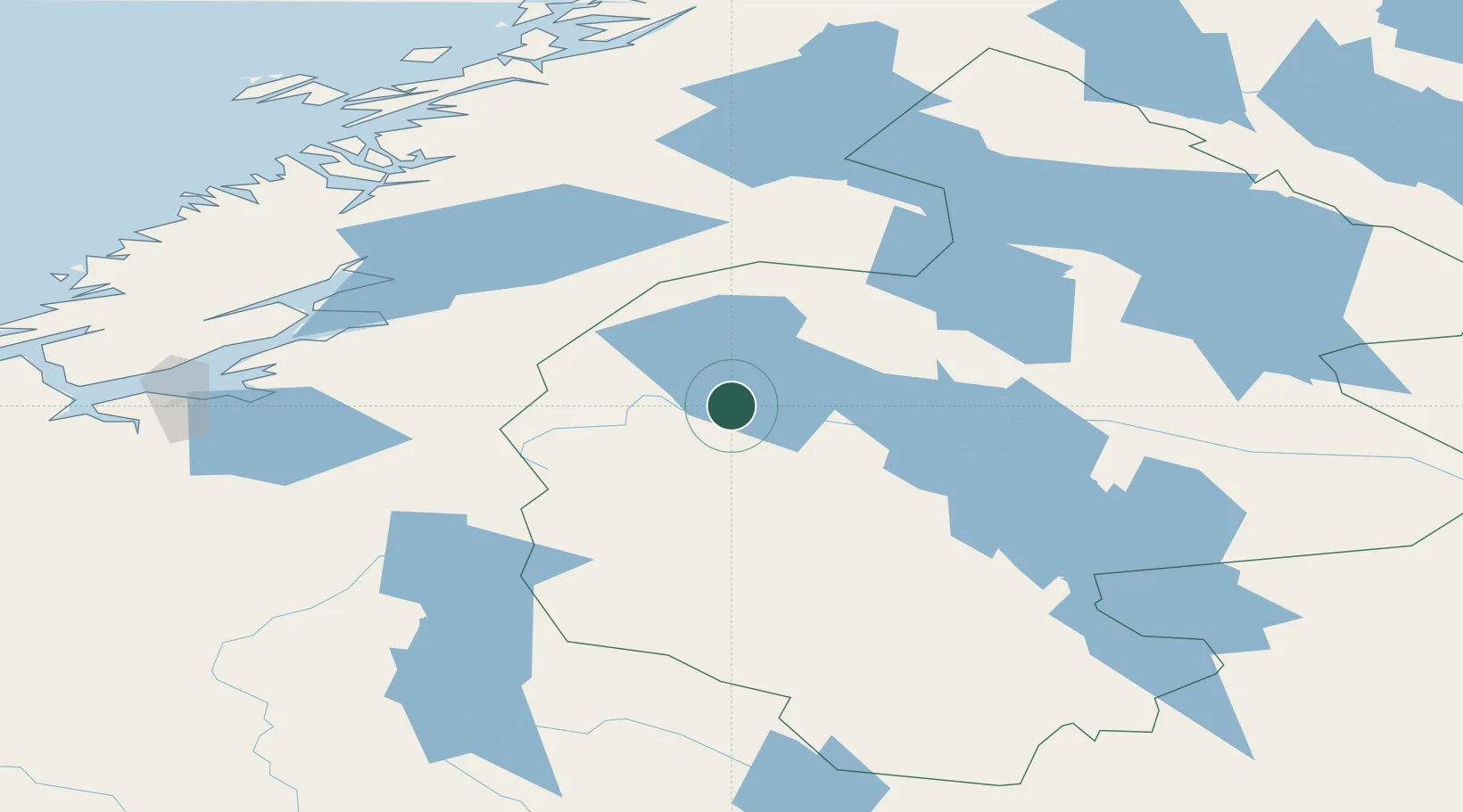
Region
Jämtland
Population
3,552
Time zone
Europe/Stockholm
Elevation
379 m
Location
Nearby Logistics Neighbours
Cities
- 1Undersaker11 km
- 2Ånn30 km
- 3Kopperå62 km
- 4Krokom68 km
- 5Dvaersaett68 km
Ports
- 1Levanger98 km
- 2Fiborgtangen103 km
- 3Steinkjer105 km
- 4Langstein111 km
- 5Muruvik113 km
Airports
- 1Åre Östersund Airport74 km
- 2Trondheim Airport, Værnes108 km
- 3Røros Airport127 km
- 4Namsos Airport141 km
- 5Sveg Airport165 km
Trade Zones
- 1Stockholm Free Zone523 km
- 2Turku Free Zone578 km
- 3Jönköping Free Zone629 km
- 4Gothenburg Boundless Customs Warehouse637 km
- 5Freeport of Hanko651 km
DatabookThe Record of Consolidated Knowledge
Sweden beyond logistics?