Transport Functions
Road
Multimodal
Hub Profile
Place type
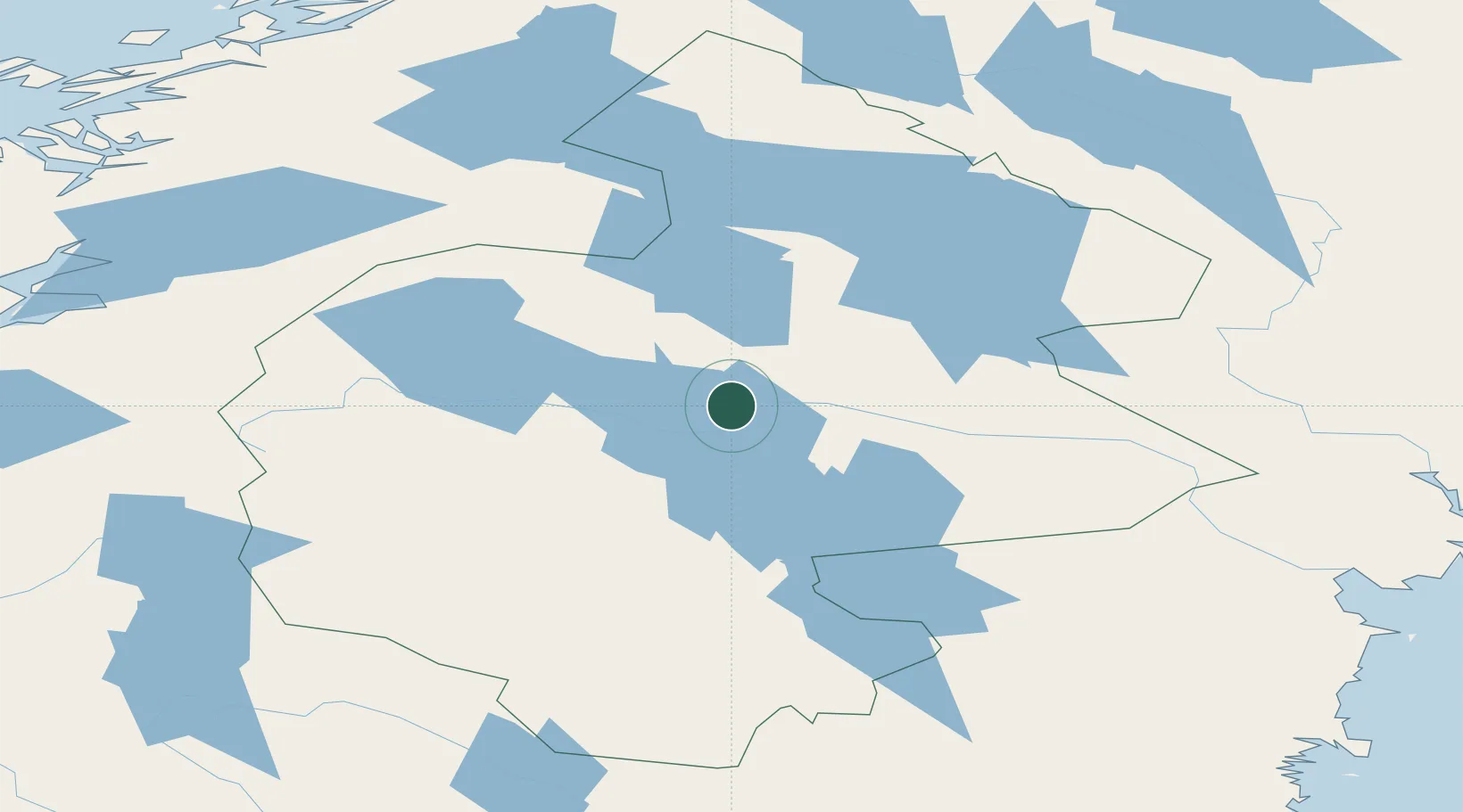
Populated place
Region
Jämtland
Population
745
Time zone
Europe/Stockholm
Elevation
310 m
Location
Nearby Logistics Neighbours
Cities
- 1Krokom2 km
- 2Brunflo32 km
- 3Hackås45 km
- 4Undersaker59 km
- 5Gällö59 km
Ports
- 1Bollstabruk167 km
- 2Vaja168 km
- 3Vivstavarv174 km
- 4Kramfors174 km
- 5Soraker179 km
Airports
- 1Åre Östersund Airport14 km
- 2Sveg Airport141 km
- 3Kramfors-Sollefteå Höga Kusten Airport169 km
- 4Sundsvall-Härnösand Airport175 km
- 5Vilhelmina South Lapland Airport182 km
Trade Zones
- 1Stockholm Free Zone482 km
- 2Turku Free Zone517 km
- 3Freeport of Hanko591 km
- 4Jönköping Free Zone617 km
- 5Gothenburg Boundless Customs Warehouse640 km
DatabookThe Record of Consolidated Knowledge
Sweden beyond logistics?