Transport Functions
Port
Rail
Road
Hub Profile
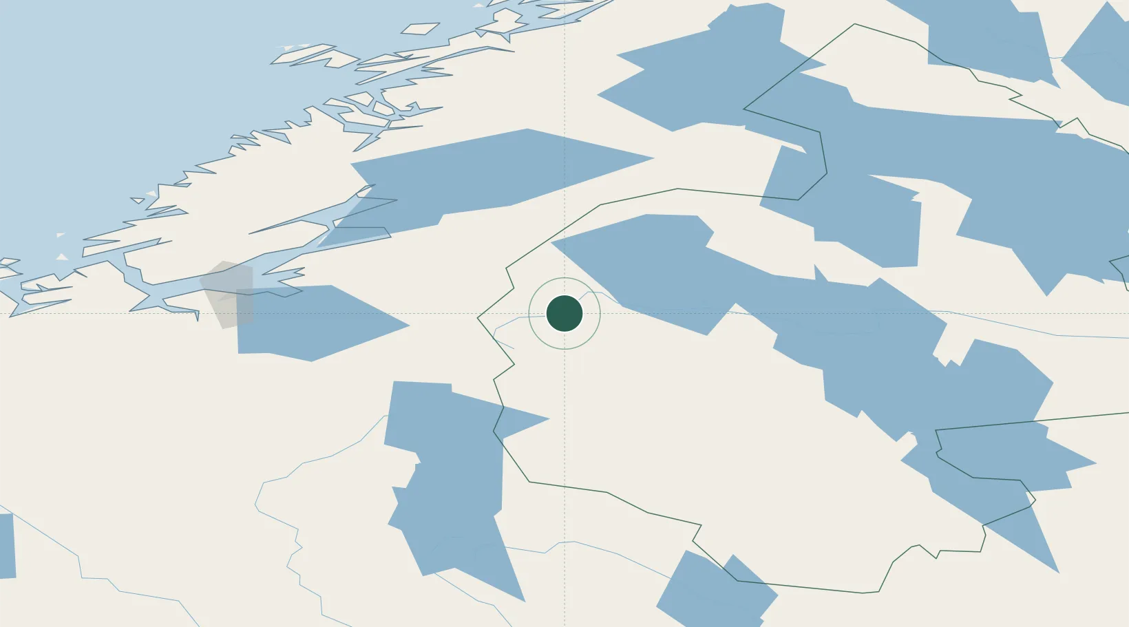
Place type
Locality
Region
Jämtland
Time zone
Europe/Stockholm
Elevation
531 m
Location
Nearby Logistics Neighbours
Cities
- 1Åre30 km
- 2Kopperå35 km
- 3Undersaker37 km
- 4Verdal75 km
- 5Levanger79 km
Ports
- 1Levanger78 km
- 2Fiborgtangen82 km
- 3Muruvik85 km
- 4Langstein86 km
- 5Hommelvik87 km
Airports
- 1Trondheim Airport, Værnes82 km
- 2Åre Östersund Airport100 km
- 3Røros Airport102 km
- 4Namsos Airport137 km
- 5Sveg Airport171 km
Trade Zones
- 1Stockholm Free Zone532 km
- 2Turku Free Zone599 km
- 3Jönköping Free Zone623 km
- 4Gothenburg Boundless Customs Warehouse625 km
- 5Freeport of Hanko670 km
DatabookThe Record of Consolidated Knowledge
Sweden beyond logistics?