Transport Functions
Rail
Road
Multimodal
Hub Profile
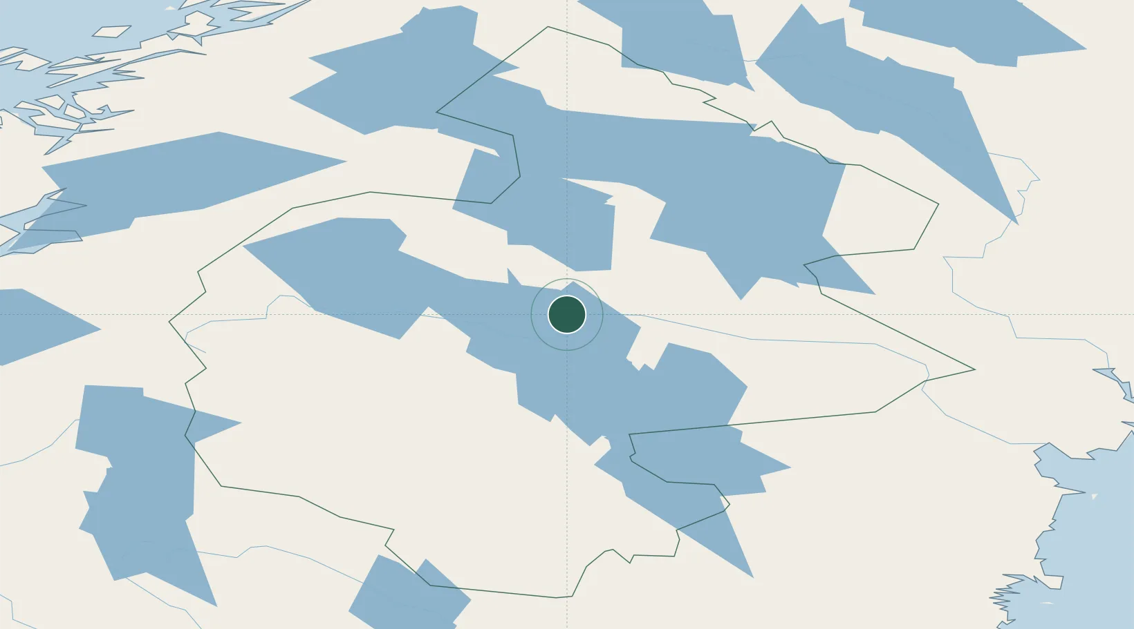
Place type
Provincial seat
Region
Jämtland
Population
1,953
Time zone
Europe/Stockholm
Elevation
294 m
Location
Nearby Logistics Neighbours
Cities
- 1Dvaersaett2 km
- 2Brunflo33 km
- 3Hackås47 km
- 4Undersaker59 km
- 5Gällö61 km
Ports
- 1Bollstabruk167 km
- 2Vaja169 km
- 3Kramfors174 km
- 4Vivstavarv175 km
- 5Soraker180 km
Airports
- 1Åre Östersund Airport16 km
- 2Sveg Airport143 km
- 3Kramfors-Sollefteå Höga Kusten Airport169 km
- 4Sundsvall-Härnösand Airport176 km
- 5Vilhelmina South Lapland Airport181 km
Trade Zones
- 1Stockholm Free Zone484 km
- 2Turku Free Zone518 km
- 3Freeport of Hanko592 km
- 4Jönköping Free Zone619 km
- 5Gothenburg Boundless Customs Warehouse642 km
DatabookThe Record of Consolidated Knowledge
Sweden beyond logistics?