Large airport · Sweden
Åre Östersund AirportESNZ
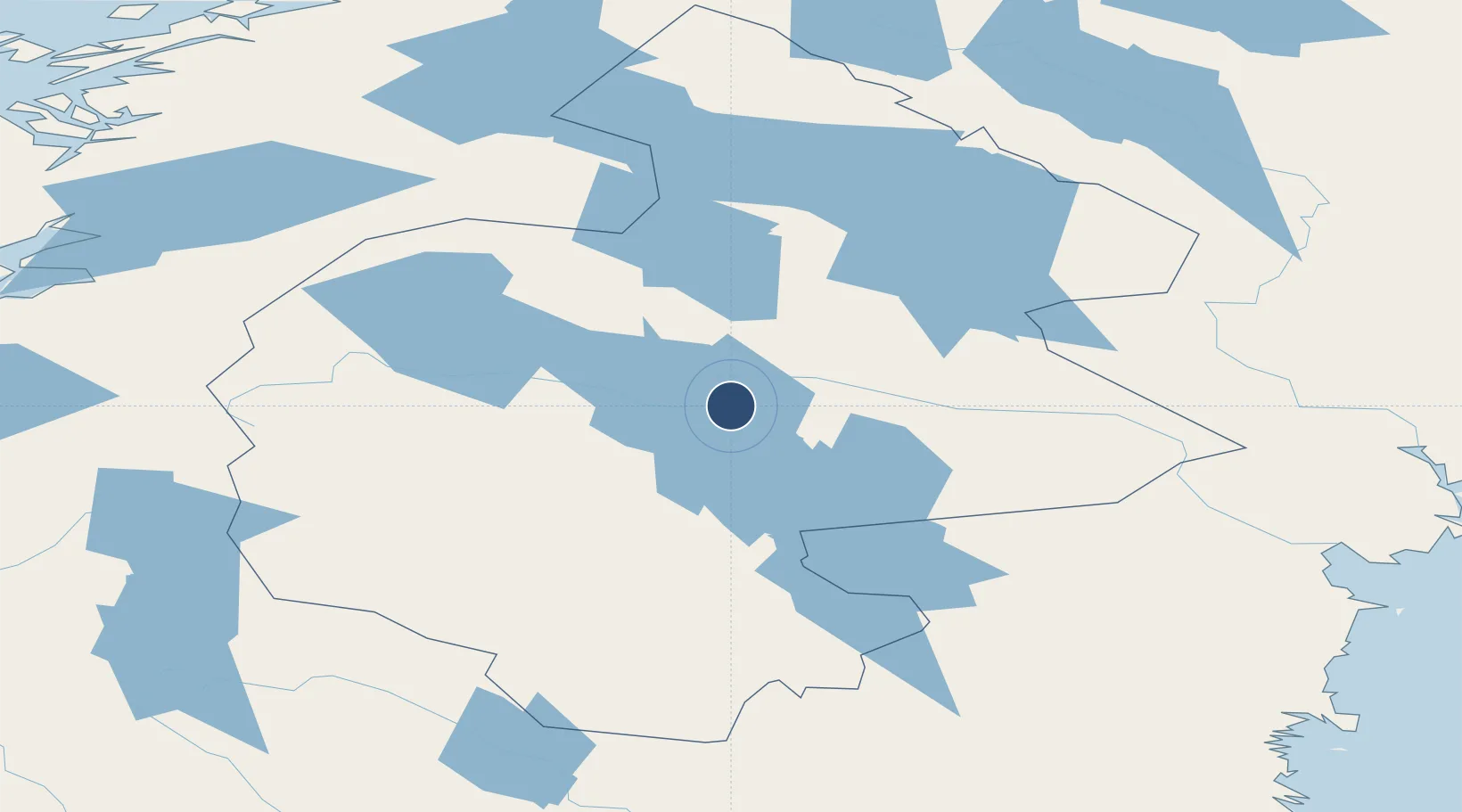
63.1935°, 14.5042°
8,202 ft
Longest runway
1
Runways
1,233 ft
Elevation
Runway & Layout

Runways · 1
| Runway | Dimensions | Surface | True heading | Lit |
|---|---|---|---|---|
| 12/30 | 8,202 × 148ft | Asphalt | 115° | ✓ |
Airport Specifications
IATA code
OSD
ICAO code
ESNZ
Airport class
Large airport
Scheduled service
Yes
Runway surface
Asphalt
Served city
Östersund
Location
Nearby Logistics Neighbours
Airports
- 1Sveg Airport128 km
- 2Kramfors-Sollefteå Höga Kusten Airport165 km
- 3Sundsvall-Härnösand Airport166 km
- 4Vilhelmina South Lapland Airport192 km
- 5Scandinavian Mountains Airport242 km
Cities
- 1Dvaersaett14 km
- 2Krokom16 km
- 3Brunflo20 km
- 4Hackås31 km
- 5Svenstavik48 km
Ports
- 1Bollstabruk162 km
- 2Vaja163 km
- 3Vivstavarv165 km
- 4Kramfors169 km
- 5Sundsvall170 km
Trade Zones
- 1Stockholm Free Zone469 km
- 2Turku Free Zone507 km
- 3Freeport of Hanko580 km
- 4Jönköping Free Zone604 km
- 5Gothenburg Boundless Customs Warehouse628 km
DatabookThe Record of Consolidated Knowledge
Sweden beyond logistics?