Transport Functions
Rail
Road
Multimodal
Hub Profile
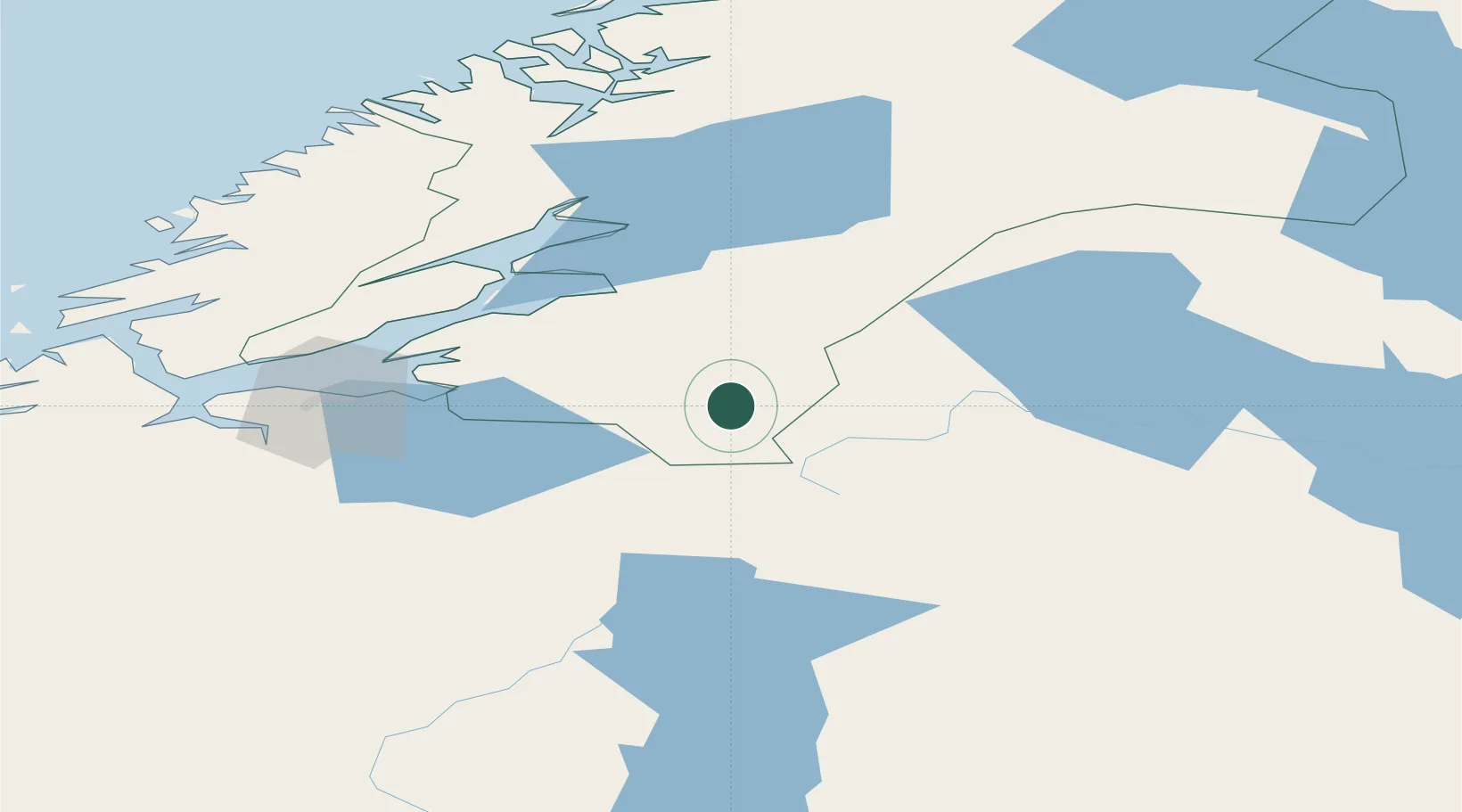
Place type
Populated place
Region
Trøndelag
Population
209
Time zone
Europe/Oslo
Elevation
380 m
Location
Nearby Logistics Neighbours
Ports
- 1Levanger48 km
- 2Fiborgtangen50 km
- 3Muruvik50 km
- 4Langstein51 km
- 5Hommelvik52 km
Airports
- 1Trondheim Airport, Værnes47 km
- 2Røros Airport95 km
- 3Ørland Airport116 km
- 4Namsos Airport120 km
- 5Åre Östersund Airport135 km
Trade Zones
- 1Stockholm Free Zone560 km
- 2Gothenburg Boundless Customs Warehouse633 km
- 3Jönköping Free Zone638 km
- 4Free port of Ventspils851 km
- 5Freeport of Copenhagen- Nordhavn856 km
DatabookThe Record of Consolidated Knowledge
Norway beyond logistics?