Small airport · Sweden
Sveg AirportESND
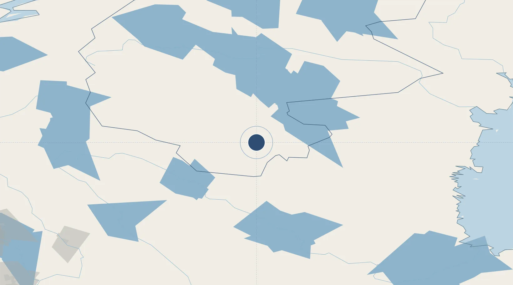
62.0478°, 14.4229°
5,579 ft
Longest runway
1
Runways
1,178 ft
Elevation
Runway & Layout

Radio Frequencies
AFIS
122.2 MHz
Navaids
OY NDB Sveg 368 kHz
Runways · 1
| Runway | Dimensions | Surface | True heading | Lit |
|---|---|---|---|---|
| 09/27 | 5,579 × 98ft | Asphalt | 087° | ✓ |
Airport Specifications
IATA code
EVG
ICAO code
ESND
Airport class
Small airport
Scheduled service
Yes
Runway surface
Asphalt
Served city
Sveg
Location
Nearby Logistics Neighbours
Airports
- 1Mora Airport121 km
- 2Åre Östersund Airport128 km
- 3Scandinavian Mountains Airport129 km
- 4Sundsvall-Härnösand Airport165 km
- 5Söderhamn Airport166 km
Cities
- 1Svenstavik80 km
- 2Ånge81 km
- 3Bräcke93 km
- 4Erikslund94 km
- 5Hackås97 km
Ports
- 1Hudiksvall145 km
- 2Iggesund146 km
- 3Stocka154 km
- 4Sundsvall156 km
- 5Stockvik157 km
Trade Zones
- 1Stockholm Free Zone361 km
- 2Turku Free Zone453 km
- 3Jönköping Free Zone476 km
- 4Gothenburg Boundless Customs Warehouse504 km
- 5Freeport of Hanko519 km
DatabookThe Record of Consolidated Knowledge
Sweden beyond logistics?