Transport Functions
Multimodal
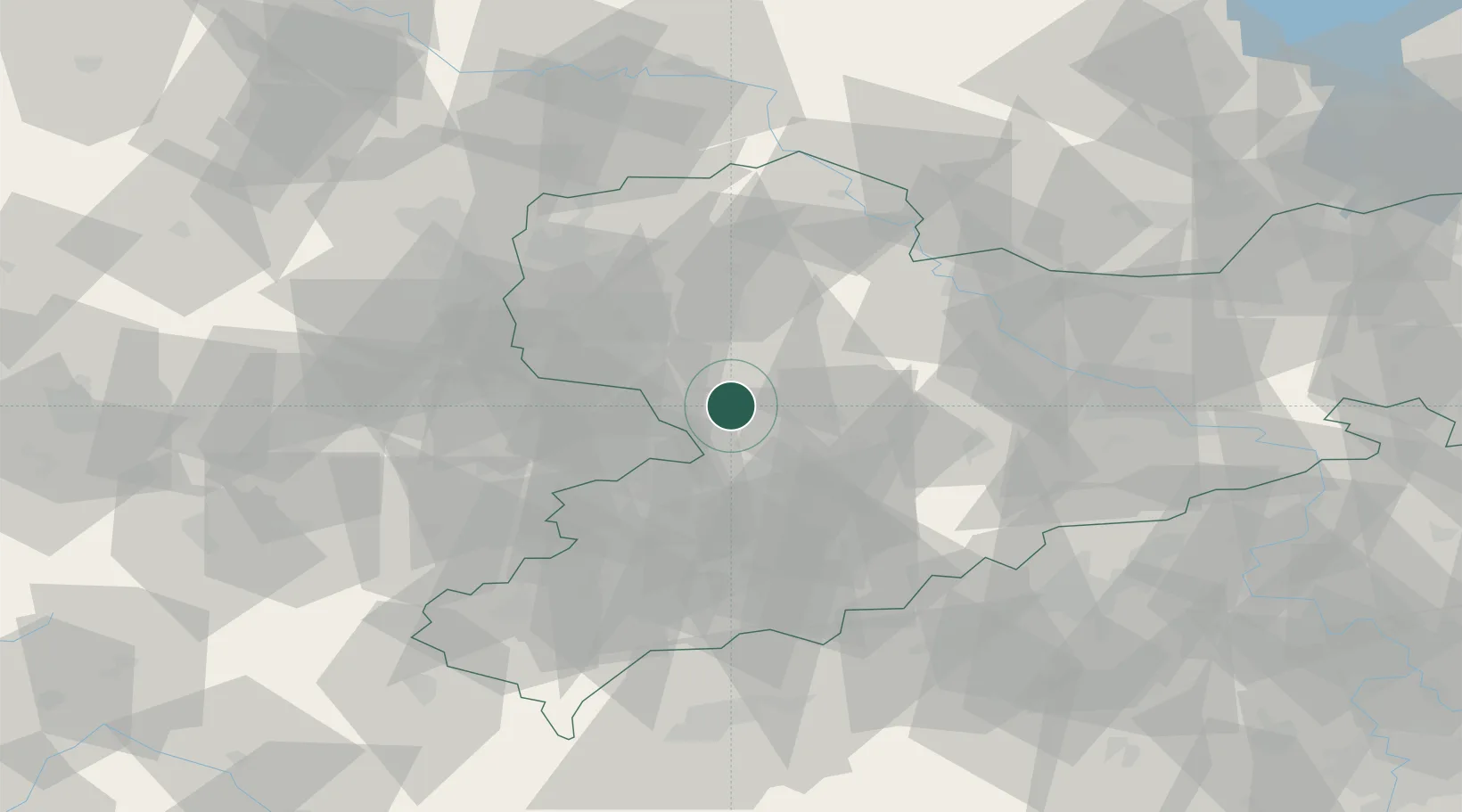
Hub Profile
Region
M
Location
Nearby Logistics Neighbours
Cities
- 1Kohren-Sahlis9 km
- 2Priessnitz12 km
- 3Colditz13 km
- 4Burgstädt13 km
- 5Mühlau13 km
Ports
- 1Szczecin295 km
- 2Police310 km
- 3Wismar332 km
- 4Swinoujscie339 km
- 5Hamburg339 km
Airports
- 1Leipzig–Altenburg Airport15 km
- 2Leipzig/Halle Airport56 km
- 3Dresden Airport75 km
- 4Holzdorf Air Base89 km
- 5Karlovy Vary Airport92 km
Trade Zones
DatabookThe Record of Consolidated Knowledge
Sweden beyond logistics?