Transport Functions
Rail
Road
Hub Profile
Place type
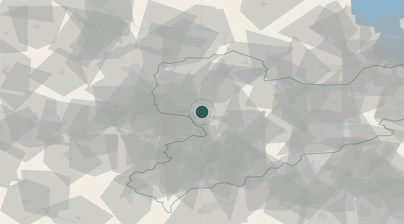
Populated place
Region
Saxony
Time zone
Europe/Berlin
Elevation
169 m
Location
Nearby Logistics Neighbours
Cities
- 1Borna7 km
- 2Kohren-Sahlis9 km
- 3Lobstädt11 km
- 4Ramlösa12 km
- 5Espenhain13 km
Ports
- 1Szczecin290 km
- 2Police305 km
- 3Wismar321 km
- 4Hamburg327 km
- 5Swinoujscie333 km
Airports
- 1Leipzig–Altenburg Airport15 km
- 2Leipzig/Halle Airport44 km
- 3Dresden Airport82 km
- 4Holzdorf Air Base84 km
- 5Karlovy Vary Airport102 km
Trade Zones
DatabookThe Record of Consolidated Knowledge
Germany beyond logistics?