Transport Functions
Multimodal
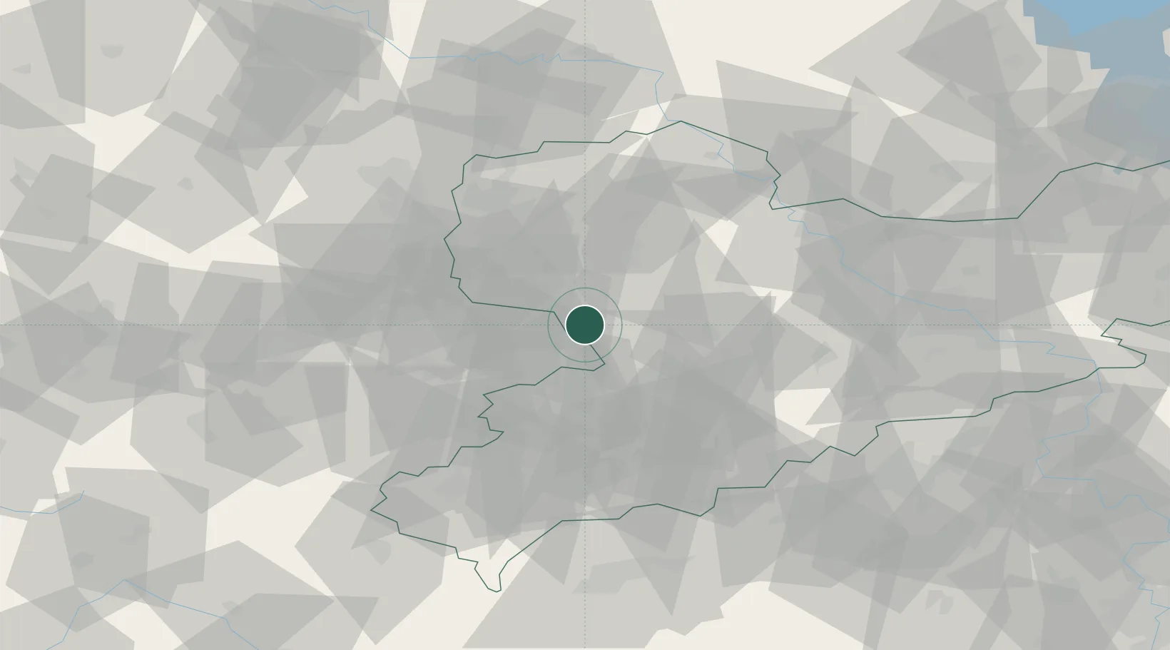
Hub Profile
Place type
Populated place
Region
Saxony
Time zone
Europe/Berlin
Elevation
209 m
Location
Nearby Logistics Neighbours
Cities
- 1Ramlösa9 km
- 2Priessnitz9 km
- 3Altenburg11 km
- 4Borna13 km
- 5Rositz15 km
Ports
- 1Szczecin299 km
- 2Police314 km
- 3Wismar329 km
- 4Hamburg334 km
- 5Swinoujscie342 km
Airports
- 1Leipzig–Altenburg Airport7 km
- 2Leipzig/Halle Airport51 km
- 3Dresden Airport84 km
- 4Holzdorf Air Base93 km
- 5Karlovy Vary Airport94 km
Trade Zones
DatabookThe Record of Consolidated Knowledge
Germany beyond logistics?