Transport Functions
Port
Rail
Road
Multimodal
Hub Profile
Place type
Populated place
Region
Bavaria
Population
4,342
Time zone
Europe/Berlin
Elevation
138 m
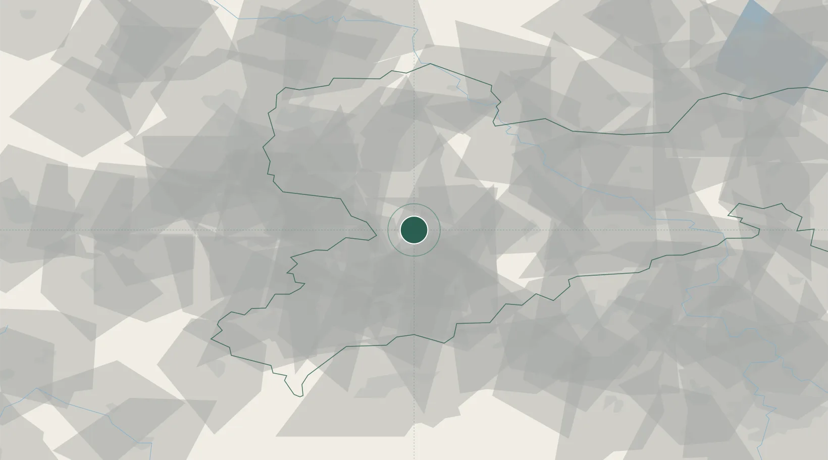
Location
Nearby Logistics Neighbours
Cities
- 1Mühlau4 km
- 2Wittgensdorf4 km
- 3Niederfrohna6 km
- 4Auerswalde7 km
- 5Ramlösa13 km
Ports
- 1Szczecin302 km
- 2Police318 km
- 3Wismar344 km
- 4Swinoujscie348 km
- 5Hamburg353 km
Airports
- 1Leipzig–Altenburg Airport23 km
- 2Leipzig/Halle Airport69 km
- 3Dresden Airport71 km
- 4Karlovy Vary Airport80 km
- 5Hof-Plauen Airport98 km
Trade Zones
DatabookThe Record of Consolidated Knowledge
Germany beyond logistics?