UN/LOCODE hub · Germany
DEUHU

Mühlau

50.9000°, 12.7667°
2,340
Population
2
Transport functions

Transport Functions

Road
Multimodal
UN/LOCODE

Hub Profile

Place type
Local administrative seat
GeoNames
Region
Saxony
GeoNames
Population
2,340
GeoNames
Time zone
Europe/Berlin
GeoNames
Elevation
336 m
GeoNames

Location

Location of DEUHU
Natural Earth 10m (public domain) · Saxony · DEUHU · 50.90, 12.77GoogleOSMYandex

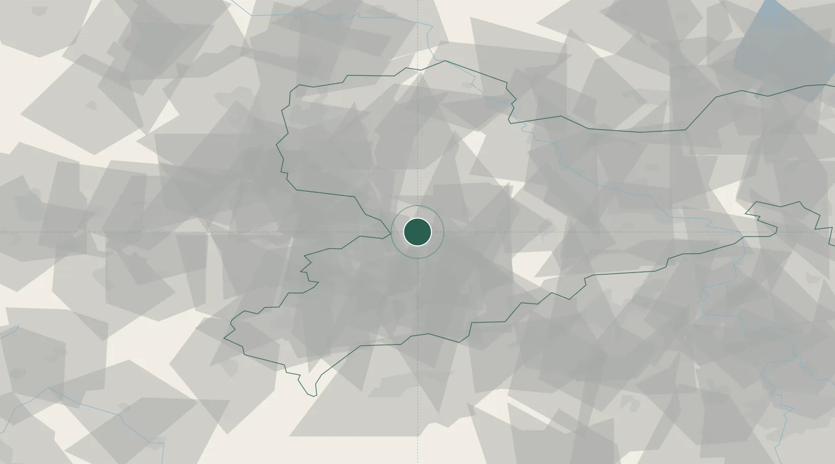
Nearby Logistics Neighbours

Cities
  1. 1Niederfrohna2 km
  2. 2Burgstädt4 km
  3. 3Wittgensdorf6 km
  4. 4Auerswalde11 km
  5. 5Mittelbach11 km
Nearest neighbours — logibook spatial index (haversine) over the source coordinates
Ports
  1. 1Szczecin305 km
  2. 2Police321 km
  3. 3Wismar345 km
  4. 4Swinoujscie351 km
  5. 5Hamburg352 km
Nearest neighbours — logibook spatial index (haversine) over the source coordinates
Airports
  1. 1Leipzig–Altenburg Airport20 km
  2. 2Leipzig/Halle Airport69 km
  3. 3Dresden Airport75 km
  4. 4Karlovy Vary Airport78 km
  5. 5Hof-Plauen Airport94 km
Nearest neighbours — logibook spatial index (haversine) over the source coordinates
Trade Zones
  1. 1Most - Joseph Industrial Zone77 km
  2. 2Žatec - Triangle Strategic Industrial Zone78 km
  3. 3Podbořany Industrial Zone87 km
  4. 4Kolín - Ovčáry Industrial Zone197 km
  5. 5Industrial Zone Kutna Hora208 km
Nearest neighbours — logibook spatial index (haversine) over the source coordinates
DatabookThe Record of Consolidated Knowledge
Germany beyond logistics?
Browse databook

All Sources

LocationsUN/LOCODE
UN/LOCODE — free
LocationsGeoNames
CC BY 4.0
Portsthe NGA World Port Index
Public domain (US gov)
AirportsOurAirports
Public domain
Trade Zonesthe World Bank SEZ database
CC BY 4.0
Trade ZonesOpen Zone Map
CC BY
← Germany locations