Channel & Berth Profile
Pilotage, Tugs & Services
Potable waterYES
MedicalYES
Facilities & Capabilities
ContainerNO
Ro-RoNO
Liquid bulkNO
Dry bulkYES
Oil terminalNO
Break bulkYES
Dry dock—
RepairsNO
BunkeringYES
Rail linkYES
Dangerous cargo—
ISPS security—
Harbour Specifications
Harbour size
Very Small
Harbour type
Coastal (Natural)
Shelter
Good
Water body
Norwegian Sea; North Atlantic Ocean
Overhead limit
No
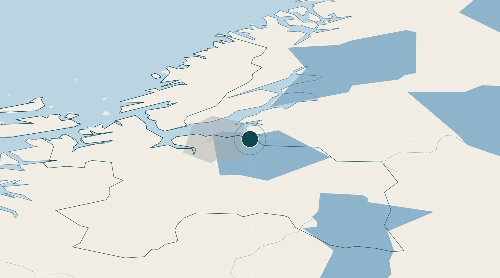
Location
Nearby Logistics Neighbours
Ports
- 1Muruvik3 km
- 2Langstein15 km
- 3Trondheim20 km
- 4Fiborgtangen38 km
- 5Levanger45 km
Airports
- 1Trondheim Airport, Værnes8 km
- 2Ørland Airport67 km
- 3Røros Airport97 km
- 4Namsos Airport123 km
- 5Kristiansund Airport, Kvernberget153 km
Trade Zones
DatabookThe Record of Consolidated Knowledge
Norway beyond logistics?