Free Trade Zone · Saudi Arabia
Riyadh Industrial City (Second) Active
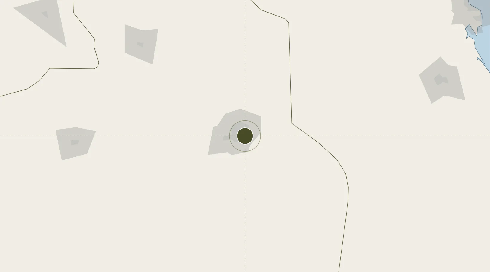
24.6079°, 46.8279°
1,900 ha
Zone area
395.5 km
Nearest port
23.3 km
Nearest airport
Gateway access
Zone profile
Zone type
Free Trade Zone
Region
Ar Riyad
Status
Active
Management
Public
Operator
Saudi Authority for Industrial Estates and Technology Zones
Legal framework
Ministerial Legislation No. 235 dated 27/8/1422H
Location
Nearby Logistics Neighbours
Ports
- 1Al Jubayl396 km
- 2Dammam398 km
- 3Ras Tannurah403 km
- 4Ju Aymah Oil Terminal412 km
- 5Al Manamah418 km
Airports
- 1King Salman Air Base23 km
- 2King Khalid International Airport41 km
- 3Prince Sultan Air Base97 km
- 4Dawadmi Domestic Airport274 km
- 5Al-Ahsa International Airport278 km
Cities
- 1Riyadh Dry Port7 km
- 2Harad231 km
- 3Buraydah344 km
- 4Jubail385 km
- 5Al Khobar386 km
DatabookThe Record of Consolidated Knowledge
Saudi Arabia beyond logistics?