Specialized Zone · Saudi Arabia
King Abdullah City for Atomic and Renewable Energy Active
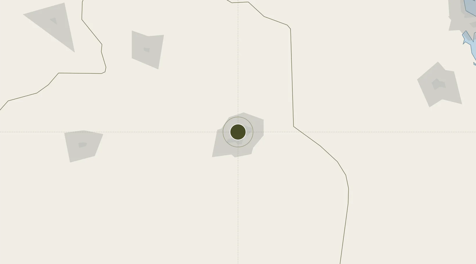
24.7078°, 46.6790°
6,200 ha
Zone area
398.8 km
Nearest port
27.0 km
Nearest airport
Gateway access
Zone profile
Zone type
Specialized Zone
Specialization
Energy
Region
Ar Riyad
Status
Active
Management
Public
Operator
Saudi Authority for Industrial Estates and Technology Zones
Legal framework
Royal order A/35 of H.M. King Abdullah bin Abdulaziz Al Saud on 17th April 2010
Location
Nearby Logistics Neighbours
Ports
- 1Al Jubayl399 km
- 2Dammam405 km
- 3Ras Tannurah410 km
- 4Ju Aymah Oil Terminal417 km
- 5Ras Al Mishab426 km
Airports
- 1King Salman Air Base27 km
- 2King Khalid International Airport28 km
- 3Prince Sultan Air Base116 km
- 4Dawadmi Domestic Airport260 km
- 5Al-Ahsa International Airport290 km
Cities
- 1Riyadh Dry Port12 km
- 2Harad248 km
- 3Buraydah326 km
- 4Jubail389 km
- 5Al Khobar394 km
DatabookThe Record of Consolidated Knowledge
Saudi Arabia beyond logistics?