UN/LOCODE hub · Saudi Arabia
SAJUB
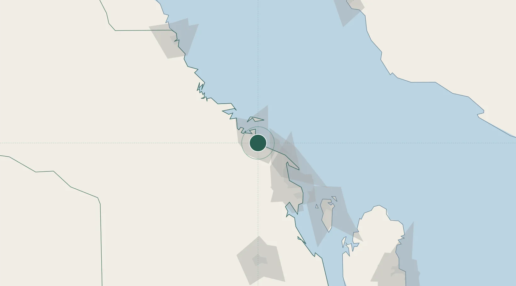
Jubail
27.0059°, 49.6050°
1
Transport functions
1
Container terminals
Transport Functions
Port
Hub Profile
Logistics facilities
11
Container terminals
1
Location
Nearby Logistics Neighbours
Cities
- 1Al Jubayl Industrial City13 km
- 2Juaymah Terminal42 km
- 3Ras Tanura68 km
- 4Ras Al-Khair73 km
- 5Ad Dammam83 km
Ports
- 1Al Jubayl11 km
- 2Ju Aymah Oil Terminal43 km
- 3Ras Tannurah69 km
- 4Dammam82 km
- 5Al Manamah130 km
Airports
- 1Jubail Airport20 km
- 2Ras Tanura Airport53 km
- 3King Fahd International Airport63 km
- 4King Abdulaziz Air Base99 km
- 5Ras Tanajib Airport127 km
Trade Zones
DatabookThe Record of Consolidated Knowledge
Saudi Arabia beyond logistics?