Transport Functions
Rail
Road
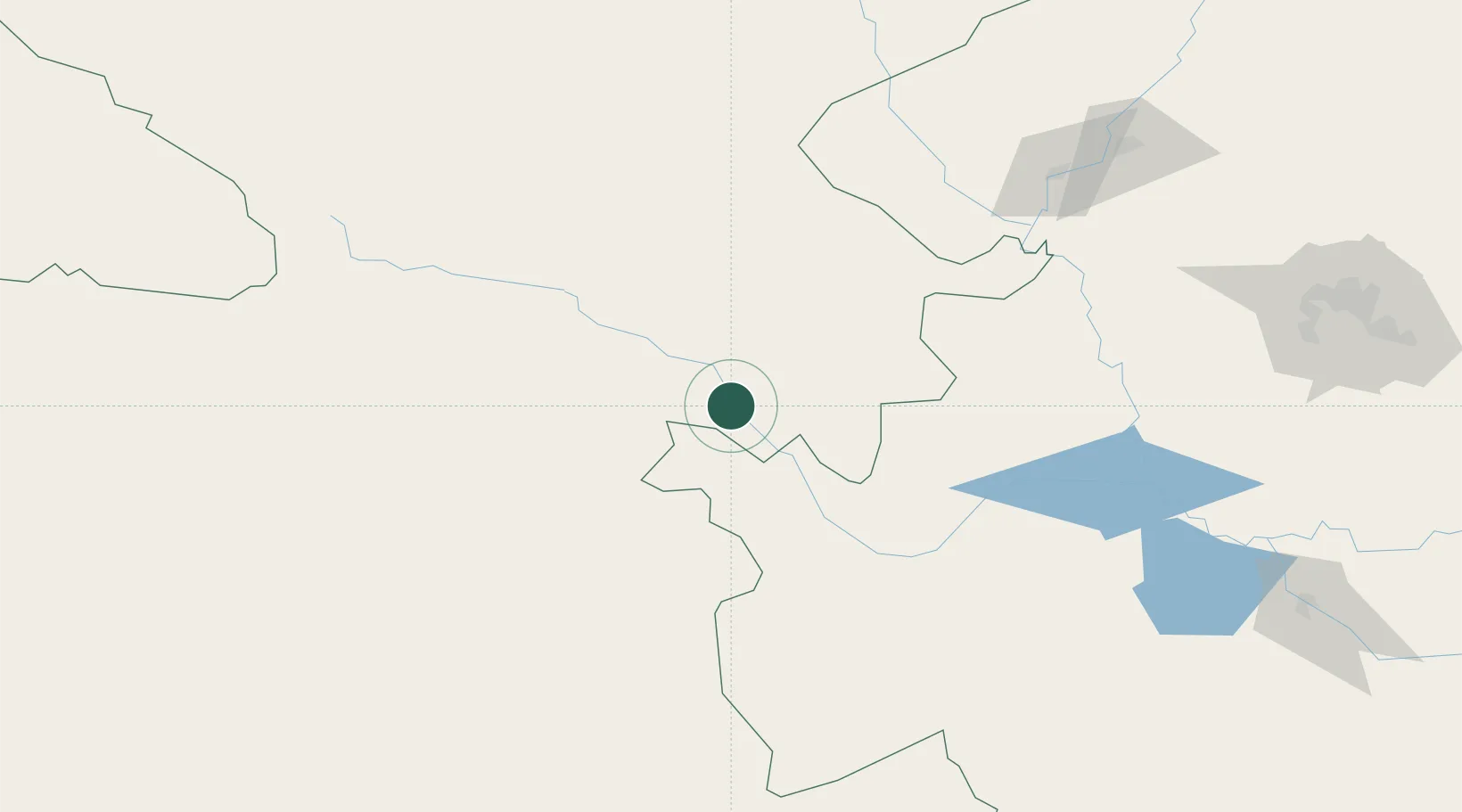
Hub Profile
Place type
Populated place
Region
Inner Mongolia
Population
165,846
Time zone
Asia/Shanghai
Elevation
303 m
Location
Nearby Logistics Neighbours
Cities
- 1Baicheng72 km
- 2Vladivostok161 km
- 3Daqing206 km
- 4Tongliao Apt290 km
- 5Zhaodong301 km
Ports
- 1Jinzhou Wan598 km
- 2Yingkou601 km
- 3Huludao Gang605 km
- 4Bayuquan643 km
- 5Qinhuangdao713 km
Airports
- 1Ulanhot Yilelite Airport14 km
- 2Baicheng Chang'an Airport97 km
- 3Qiqihar Sanjiazi Airport189 km
- 4Zhalantun Genghis Khan Airport205 km
- 5Arxan Yi'ershi Airport215 km
DatabookThe Record of Consolidated Knowledge
China beyond logistics?