Medium airport · China

Tongliao AirportZBTL
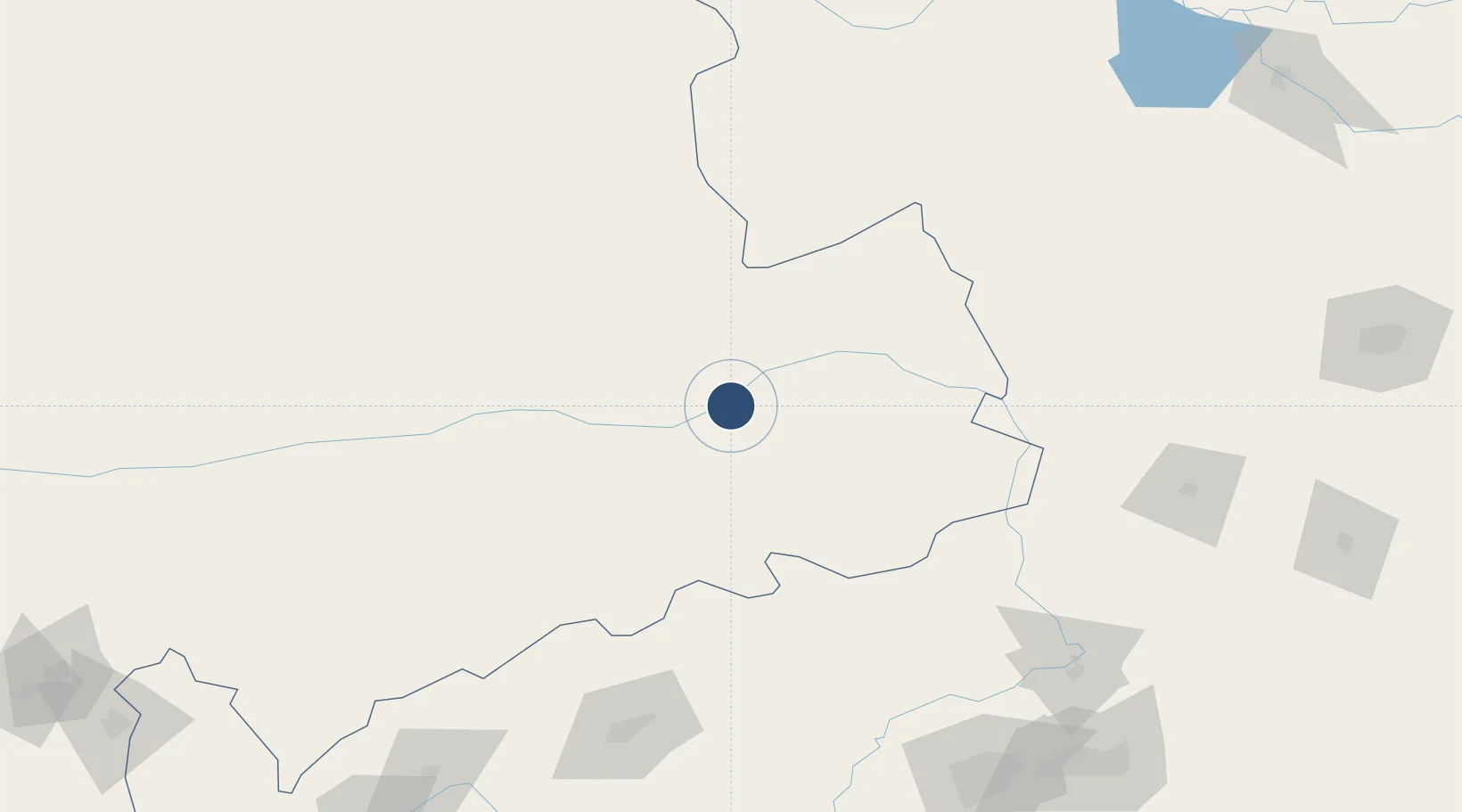
43.5567°, 122.2000°
7,546 ft
Longest runway
1
Runways
2,395 ft
Elevation

Runway & Layout

Tongliao Airport runway & taxiway layout
Runway & taxiway layout — OpenStreetMap (ODbL) / OurAirports

Runways · 1

RunwayDimensions SurfaceTrue headingLit
02/20 7,546 × —ft Concrete
OurAirports

Airport Specifications

IATA code
TGO
OurAirports
ICAO code
ZBTL
OurAirports
Airport class
Medium airport
OurAirports
Scheduled service
Yes
OurAirports
Runway surface
Concrete
OurAirports
Served city
Tongliao
OurAirports

Location

Location of ZBTL
Natural Earth 10m (public domain) · Inner Mongol · ZBTL · 43.56, 122.20GoogleOSMYandex

Nearby Logistics Neighbours

Airports
  1. 1Fuxin Air Base170 km
  2. 2Siping Air Base175 km
  3. 3Kaiyuan Air Base185 km
  4. 4Gongzhuling Air Base208 km
  5. 5Shenyang Yuhong Quansheng Airport213 km
Nearest neighbours — logibook spatial index (haversine) over the source coordinates
Cities
  1. 1Tongliao Apt10 km
  2. 2Vladivostok137 km
  3. 3Faku153 km
  4. 4Zhoutuozi159 km
  5. 5Tieling194 km
Nearest neighbours — logibook spatial index (haversine) over the source coordinates
Ports
  1. 1Yingkou320 km
  2. 2Jinzhou Wan325 km
  3. 3Huludao Gang333 km
  4. 4Bayuquan362 km
  5. 5Dandong446 km
Nearest neighbours — logibook spatial index (haversine) over the source coordinates
Trade Zones
  1. 1Kailu Industrial Park69 km
  2. 2Kangping Economic Development Zone124 km
  3. 3Zarut Industrial Park150 km
  4. 4Faku Economic Development Zone154 km
  5. 5Fuxin Forest Products Industry Base173 km
Nearest neighbours — logibook spatial index (haversine) over the source coordinates
DatabookThe Record of Consolidated Knowledge
China beyond logistics?
Browse databook

All Sources

AirportsOurAirports
Public domain
Portsthe NGA World Port Index
Public domain (US gov)
LocationsUN/LOCODE
UN/LOCODE — free
Trade Zonesthe World Bank SEZ database
CC BY 4.0
Trade ZonesOpen Zone Map
CC BY
InfrastructureOpenStreetMap
ODbL 1.0
← China airports