Export Processing Zone · China

Zarut Industrial Park Active
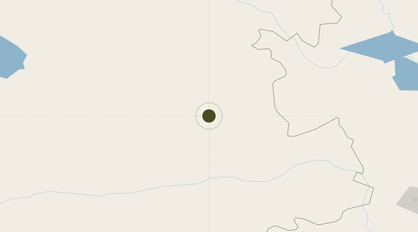
44.5589°, 120.9386°
1,500 ha
Zone area
423.7 km
Nearest port
150.3 km
Nearest airport

Gateway access

Nearest neighbours — logibook spatial index (haversine) over the source coordinates

Zone profile

Zone type
Export Processing Zone
Open Zone Map
Region
Inner Mongol
Open Zone Map
Status
Active
Open Zone Map
Management
Public
Open Zone Map
Operator
Working Committee of Zarut Industrial Park
Open Zone Map
Legal framework
Development plan of Zalute Coal chemical industry
Open Zone Map

Location

Location of ozm-1319
Natural Earth 10m (public domain) · Inner Mongol · ozm-1319 · 44.56, 120.94GoogleOSMYandex

Nearby Logistics Neighbours

Ports
  1. 1Jinzhou Wan424 km
  2. 2Huludao Gang429 km
  3. 3Yingkou444 km
  4. 4Bayuquan483 km
  5. 5Qinhuangdao526 km
Nearest neighbours — logibook spatial index (haversine) over the source coordinates
Airports
  1. 1Tongliao Airport150 km
  2. 2Holingol Huolinhe Airport159 km
  3. 3Baicheng Chang'an Airport195 km
  4. 4Ulanhot Yilelite Airport200 km
  5. 5Fuxin Air Base282 km
Nearest neighbours — logibook spatial index (haversine) over the source coordinates
Cities
  1. 1Vladivostok146 km
  2. 2Tongliao Apt159 km
  3. 3Baicheng190 km
  4. 4Ulan Hot192 km
  5. 5Zhoutuozi297 km
Nearest neighbours — logibook spatial index (haversine) over the source coordinates
Trade Zones
  1. 1Tuquan Circular Economy Industrial Park104 km
  2. 2Kailu Industrial Park112 km
  3. 3Taonan Economic Development Zone172 km
  4. 4Keyouqianqi Industrial Park188 km
  5. 5Chaganhaote Tourism Economic Development Zone188 km
Nearest neighbours — logibook spatial index (haversine) over the source coordinates
DatabookThe Record of Consolidated Knowledge
China beyond logistics?
Browse databook

All Sources

Trade ZonesOpen Zone Map
CC BY
Portsthe NGA World Port Index
Public domain (US gov)
AirportsOurAirports
Public domain
LocationsUN/LOCODE
UN/LOCODE — free
← China trade zones