Transport Functions
Rail
Road
Airport
Hub Profile
Region
NM
Logistics facilities
1
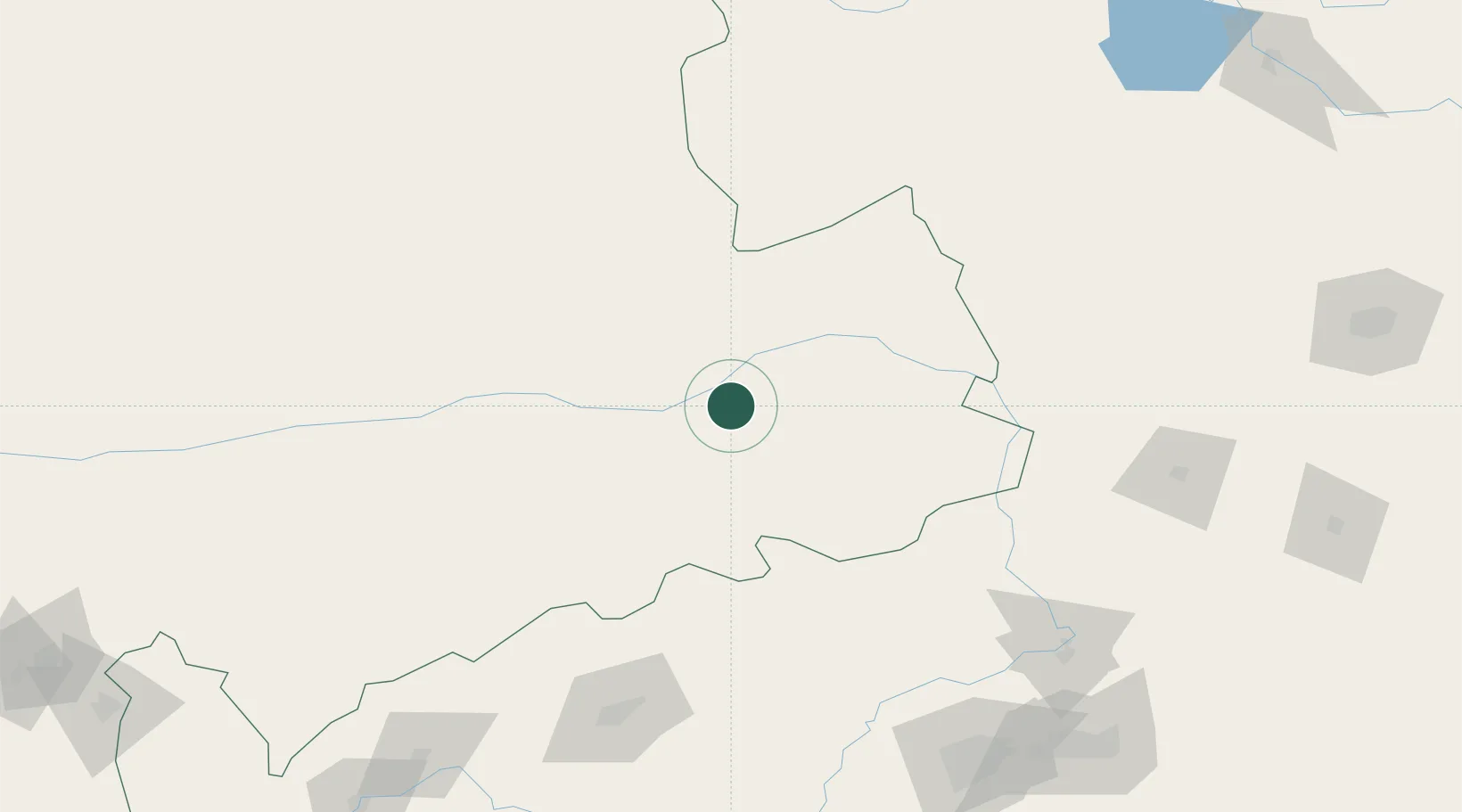
Location
Nearby Logistics Neighbours
Cities
- 1Faku144 km
- 2Vladivostok144 km
- 3Zhoutuozi149 km
- 4Tieling185 km
- 5Heishan200 km
Ports
- 1Yingkou311 km
- 2Jinzhou Wan318 km
- 3Huludao Gang326 km
- 4Bayuquan354 km
- 5Dandong437 km
Airports
- 1Tongliao Airport10 km
- 2Fuxin Air Base163 km
- 3Siping Air Base169 km
- 4Kaiyuan Air Base176 km
- 5Shenyang Yuhong Quansheng Airport203 km
Trade Zones
DatabookThe Record of Consolidated Knowledge
China beyond logistics?