Transport Functions
Rail
Road
Hub Profile
Place type
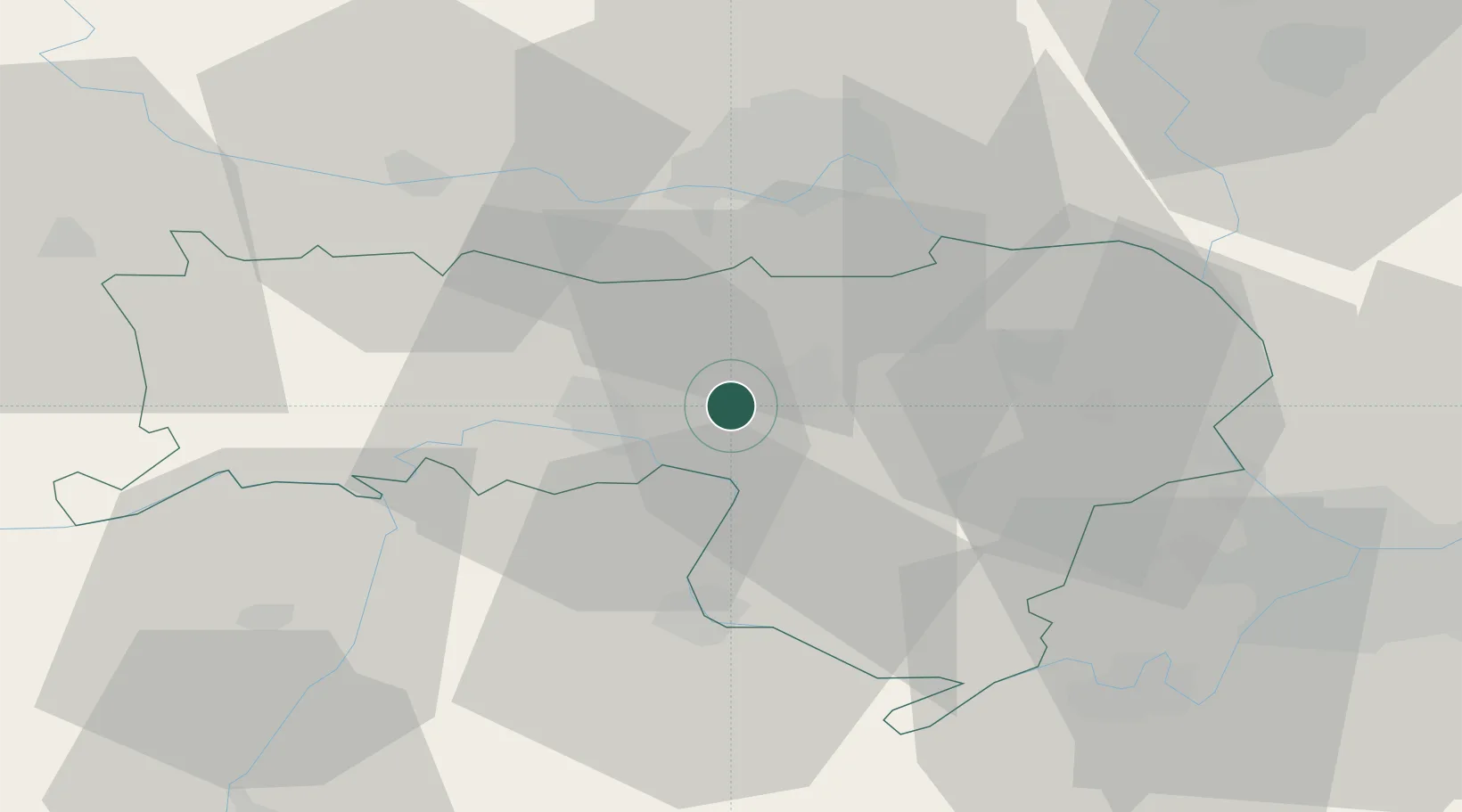
Populated place
Region
Vojvodina
Time zone
Europe/Belgrade
Elevation
96 m
Location
Nearby Logistics Neighbours
Cities
- 1Ruma5 km
- 2Sremska Mitrovica9 km
- 3Lacarak14 km
- 4Futog26 km
- 5Sremski Karlovci27 km
Airports
- 1Batajnica Air Base41 km
- 2Belgrade Nikola Tesla Airport48 km
- 3Osijek Airport90 km
- 4Tuzla International Airport101 km
- 5Ponikve Airport123 km
Trade Zones
- 1Novi Sad Free Zone31 km
- 2Beograd Free Zone61 km
- 3Zrenjanin Free Zone65 km
- 4ō abac Free Zone66 km
- 5Podunavska Gospodarska Zona Vukovar70 km
DatabookThe Record of Consolidated Knowledge
Serbia beyond logistics?