UN/LOCODE hub · Serbia
RSSRM
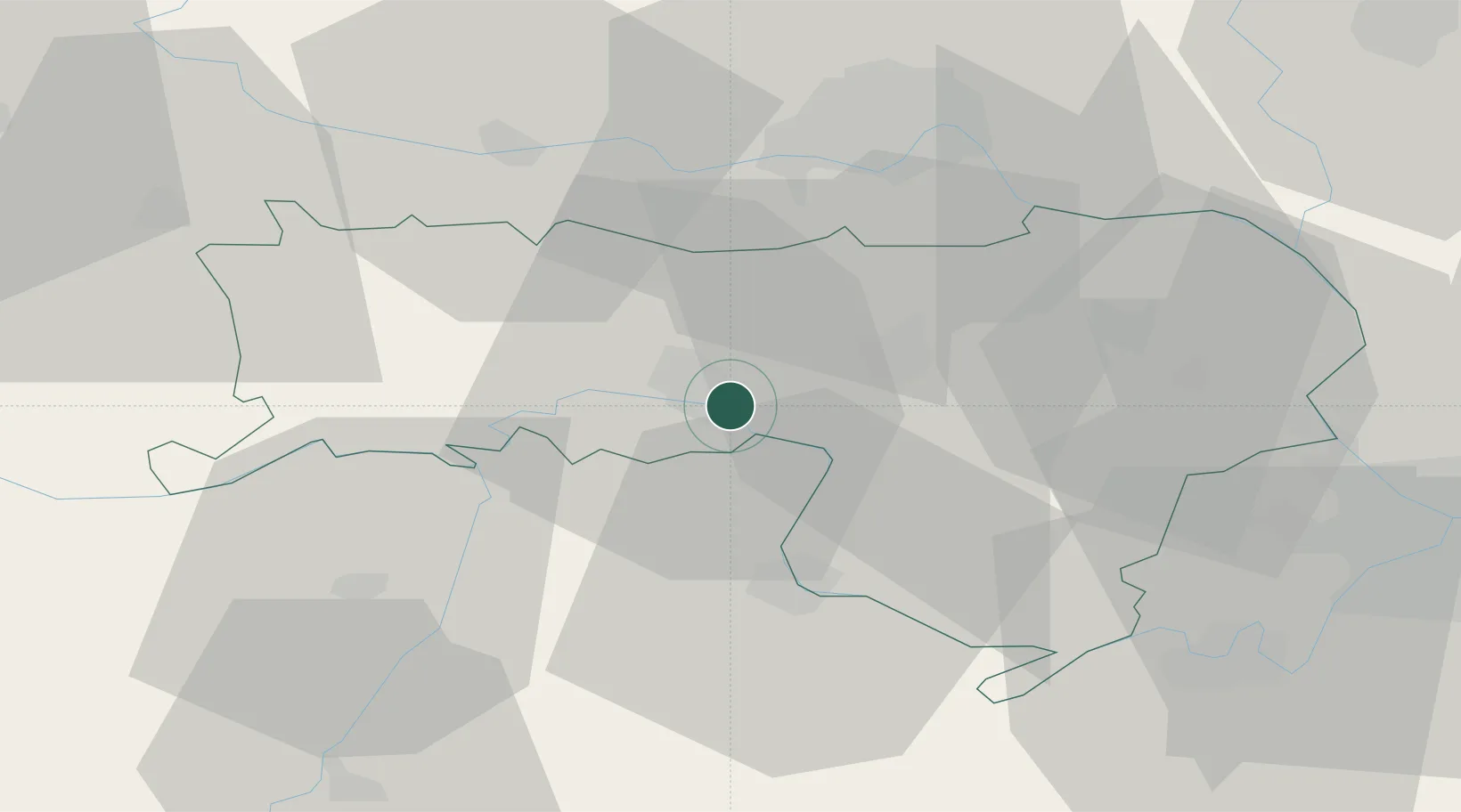
Sremska Mitrovica
44.9656°, 19.6445°
39,084
Population
2
Transport functions
Transport Functions
Rail
Road
Hub Profile
Place type
Provincial seat
Region
Vojvodina
Population
39,084
Time zone
Europe/Belgrade
Elevation
84 m
Logistics facilities
2
Location
Nearby Logistics Neighbours
Airports
- 1Batajnica Air Base48 km
- 2Belgrade Nikola Tesla Airport55 km
- 3Osijek Airport86 km
- 4Tuzla International Airport92 km
- 5Ponikve Airport119 km
Trade Zones
- 1Novi Sad Free Zone38 km
- 2ō abac Free Zone59 km
- 3Podunavska Gospodarska Zona Vukovar66 km
- 4Beograd Free Zone68 km
- 5Zrenjanin Free Zone73 km
DatabookThe Record of Consolidated Knowledge
Serbia beyond logistics?