Transport Functions
Rail
Road
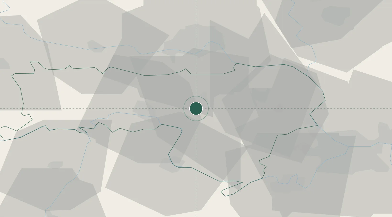
Hub Profile
Place type
District seat
Region
Vojvodina
Population
32,229
Time zone
Europe/Belgrade
Elevation
114 m
Location
Nearby Logistics Neighbours
Cities
- 1Voganj5 km
- 2Sremska Mitrovica14 km
- 3Lacarak20 km
- 4Sremski Karlovci24 km
- 5Stara Pazova26 km
Airports
- 1Batajnica Air Base35 km
- 2Belgrade Nikola Tesla Airport44 km
- 3Osijek Airport94 km
- 4Tuzla International Airport105 km
- 5Ponikve Airport123 km
Trade Zones
- 1Novi Sad Free Zone30 km
- 2Beograd Free Zone56 km
- 3Zrenjanin Free Zone61 km
- 4ō abac Free Zone68 km
- 5Podunavska Gospodarska Zona Vukovar75 km
DatabookThe Record of Consolidated Knowledge
Serbia beyond logistics?