Transport Functions
Port
Road
Hub Profile
Place type
Locality
Region
Central Serbia
Time zone
Europe/Belgrade
Elevation
118 m
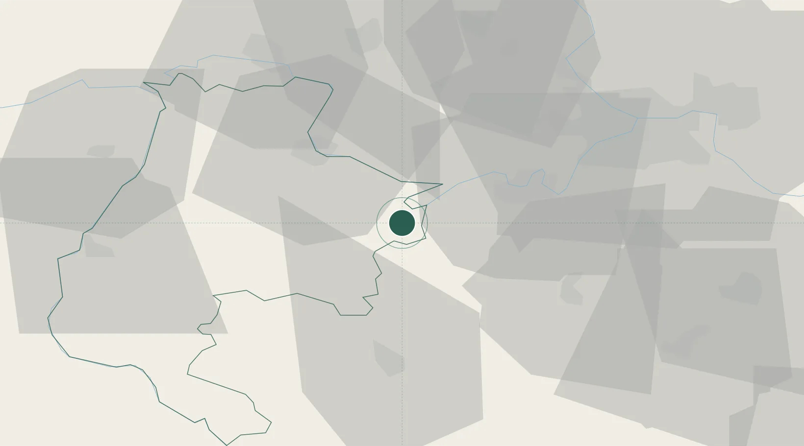
Location
Nearby Logistics Neighbours
Airports
- 1Belgrade Nikola Tesla Airport39 km
- 2Batajnica Air Base46 km
- 3Ponikve Airport80 km
- 4Tuzla International Airport96 km
- 5Morava Airport102 km
Trade Zones
- 1ō abac Free Zone44 km
- 2Beograd Free Zone51 km
- 3Novi Sad Free Zone75 km
- 4Smederevo Free Zone81 km
- 5Uō¾ice Free Zone84 km
DatabookThe Record of Consolidated Knowledge
Serbia beyond logistics?