UN/LOCODE hub · Serbia
RSGMI
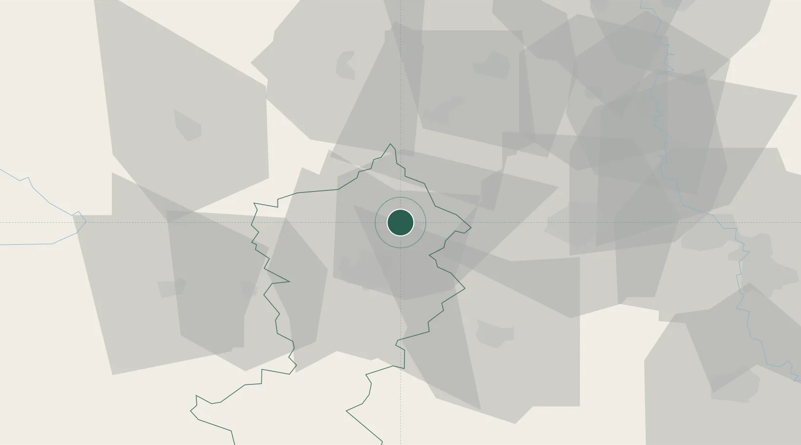
Gornji Milanovac
44.0333°, 20.4500°
23,982
Population
2
Transport functions
Transport Functions
Rail
Road
Hub Profile
Place type
District seat
Region
Central Serbia
Population
23,982
Time zone
Europe/Belgrade
Elevation
326 m
Location
Nearby Logistics Neighbours
Cities
- 1Cacak19 km
- 2Bresnica21 km
- 3Knic25 km
- 4Kragujevac37 km
- 5Pozega40 km
Airports
- 1Morava Airport26 km
- 2Ponikve Airport62 km
- 3Belgrade Nikola Tesla Airport88 km
- 4Batajnica Air Base101 km
- 5Niš Constantine the Great Airport137 km
Trade Zones
- 1FAS Free Zone Kragujevac36 km
- 2Uō¾ice Free Zone49 km
- 3Svilajnac Free Zone65 km
- 4Smederevo Free Zone81 km
- 5Beograd Free Zone88 km
DatabookThe Record of Consolidated Knowledge
Serbia beyond logistics?