Transport Functions
Rail
Road
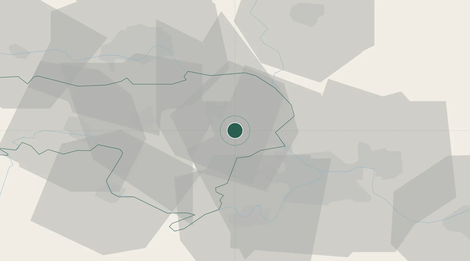
Hub Profile
Place type
District seat
Region
Vojvodina
Population
16,217
Time zone
Europe/Belgrade
Elevation
81 m
Location
Nearby Logistics Neighbours
Cities
- 1Nova Pazova9 km
- 2Dobanovci19 km
- 3Surcin23 km
- 4Belgrade (Beograd)24 km
- 5Zemun26 km
Airports
- 1Batajnica Air Base10 km
- 2Belgrade Nikola Tesla Airport22 km
- 3Osijek Airport118 km
- 4Ponikve Airport126 km
- 5Tuzla International Airport127 km
Trade Zones
- 1Beograd Free Zone32 km
- 2Novi Sad Free Zone40 km
- 3Zrenjanin Free Zone47 km
- 4Smederevo Free Zone71 km
- 5ō abac Free Zone83 km
DatabookThe Record of Consolidated Knowledge
Serbia beyond logistics?