UN/LOCODE hub · Romania
RORZP
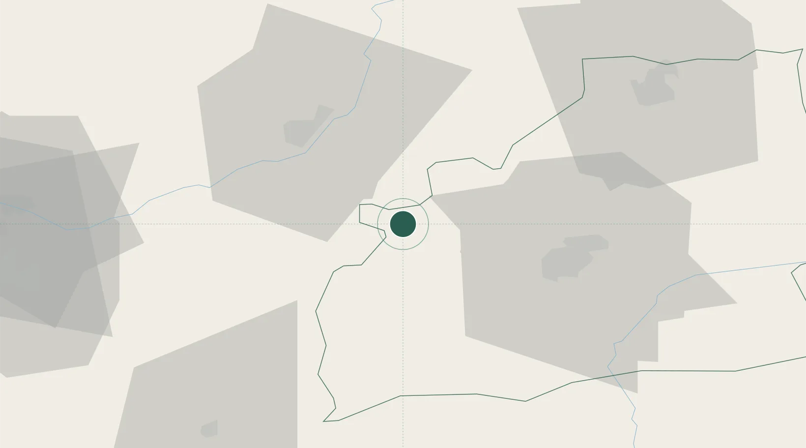
Miercurea Sibiului
45.8833°, 23.8000°
3,981
Population
1
Transport functions
Transport Functions
Multimodal
Hub Profile
Place type
Provincial seat
Region
Sibiu County
Population
3,981
Time zone
Europe/Bucharest
Elevation
326 m
Location
Nearby Logistics Neighbours
Airports
Trade Zones
- 1VGP Park Sibiu24 km
- 2VGP Park Brasov138 km
- 3VGP Park Arad201 km
- 4Free Zone Curtici Arad201 km
- 5VGP Park Timisoara203 km
DatabookThe Record of Consolidated Knowledge
Romania beyond logistics?