Channel & Berth Profile
Pilotage, Tugs & Services
Pilotage compulsoryYES
Pilotage availableYES
Tug assistanceYES
Potable waterYES
Diesel bunkersYES
MedicalYES
Facilities & Capabilities
Container—
Ro-Ro—
Liquid bulk—
Dry bulk—
Oil terminal—
Break bulk—
Dry dock—
RepairsNO
BunkeringYES
Rail linkYES
Dangerous cargo—
ISPS security—
Harbour Specifications
Harbour size
Small
Harbour type
Coastal (Breakwater)
Shelter
Good
Water body
Aegean Sea; Mediterranean Sea; North Atlantic Ocean
Tidal range
1 m
Pilotage
Yes
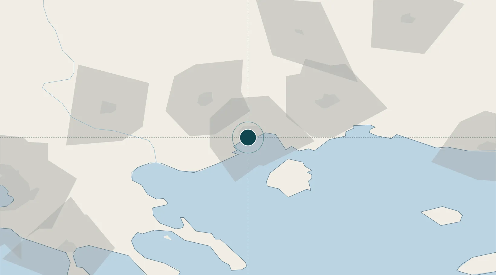
Location
Nearby Logistics Neighbours
Ports
- 1Lagos62 km
- 2Stratoni67 km
- 3Yerakini108 km
- 4Alexandroupoli125 km
- 5Thessaloniki128 km
Cities
- 1Amigdaleonas5 km
- 2Néa Karváli11 km
- 3Eleftheres12 km
- 4Prinos Thassou25 km
- 5Chrysoupoli26 km
Airports
Trade Zones
- 1Kuklen Industrial and Commercial Zone127 km
- 2Free Zone of Thessaloniki129 km
- 3Plovdiv Free Zone130 km
- 4Trakia Economic Zone139 km
- 5Maritsa Industrial and Commercial Zone144 km
DatabookThe Record of Consolidated Knowledge
Greece beyond logistics?