Transport Functions
Road
Multimodal
Hub Profile
Place type
Provincial seat
Region
Sibiu County
Population
2,311
Time zone
Europe/Bucharest
Elevation
418 m
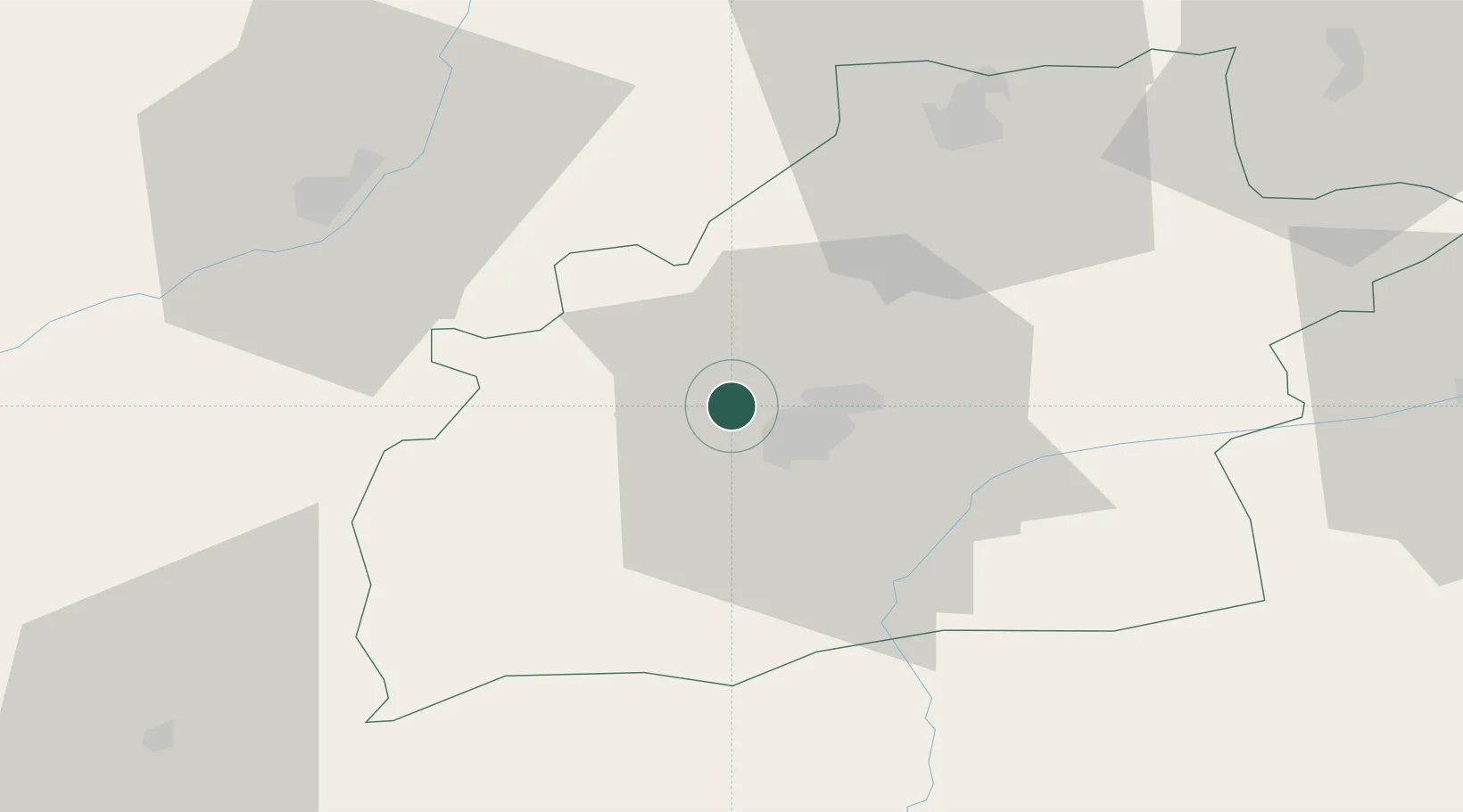
Location
Nearby Logistics Neighbours
Cities
- 1Selimbar13 km
- 2Miercurea Sibiului21 km
- 3Avrig27 km
- 4Blaj41 km
- 5Lancram43 km
Airports
Trade Zones
- 1VGP Park Sibiu6 km
- 2VGP Park Brasov117 km
- 3VGP Park Buharest North211 km
- 4Free Zone Galați237 km
- 5Free Zone Giurgiu262 km
DatabookThe Record of Consolidated Knowledge
Romania beyond logistics?