UN/LOCODE hub · Romania
ROSRU

Sîntimbru

46.1333°, 23.6500°
1
Transport functions

Transport Functions

Multimodal
UN/LOCODE

Hub Profile

Region
AB
GeoNames

Location

Location of ROSRU
Natural Earth 10m (public domain) · AB · ROSRU · 46.13, 23.65GoogleOSMYandex

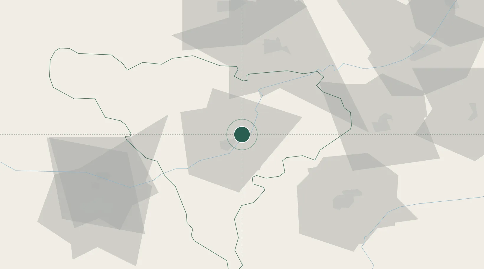
Nearby Logistics Neighbours

Cities
  1. 1Lancram18 km
  2. 2Blaj21 km
  3. 3Miercurea Sibiului30 km
  4. 4Unirea32 km
  5. 5Salciua de Jos34 km
Nearest neighbours — logibook spatial index (haversine) over the source coordinates
Ports
  1. 1Braila351 km
  2. 2Galati353 km
  3. 3Reni369 km
  4. 4Cernavoda398 km
  5. 5Izmayil413 km
Nearest neighbours — logibook spatial index (haversine) over the source coordinates
Airports
  1. 1Câmpia Turzii Air Base45 km
  2. 2Sibiu International Airport51 km
  3. 3Târgu Mureş Transilvania International Airport69 km
  4. 4Avram Iancu Cluj International Airport73 km
  5. 5Caransebeş Airport134 km
Nearest neighbours — logibook spatial index (haversine) over the source coordinates
Trade Zones
  1. 1VGP Park Sibiu51 km
  2. 2VGP Park Brasov156 km
  3. 3Free Zone Curtici Arad184 km
  4. 4VGP Park Arad186 km
  5. 5VGP Park Timisoara195 km
Nearest neighbours — logibook spatial index (haversine) over the source coordinates
DatabookThe Record of Consolidated Knowledge
Romania beyond logistics?
Browse databook

All Sources

LocationsUN/LOCODE
UN/LOCODE — free
Portsthe NGA World Port Index
Public domain (US gov)
AirportsOurAirports
Public domain
Trade Zonesthe World Bank SEZ database
CC BY 4.0
Trade ZonesOpen Zone Map
CC BY
← Romania locations