Seaport · Bulgaria
BurgasBGBOJ
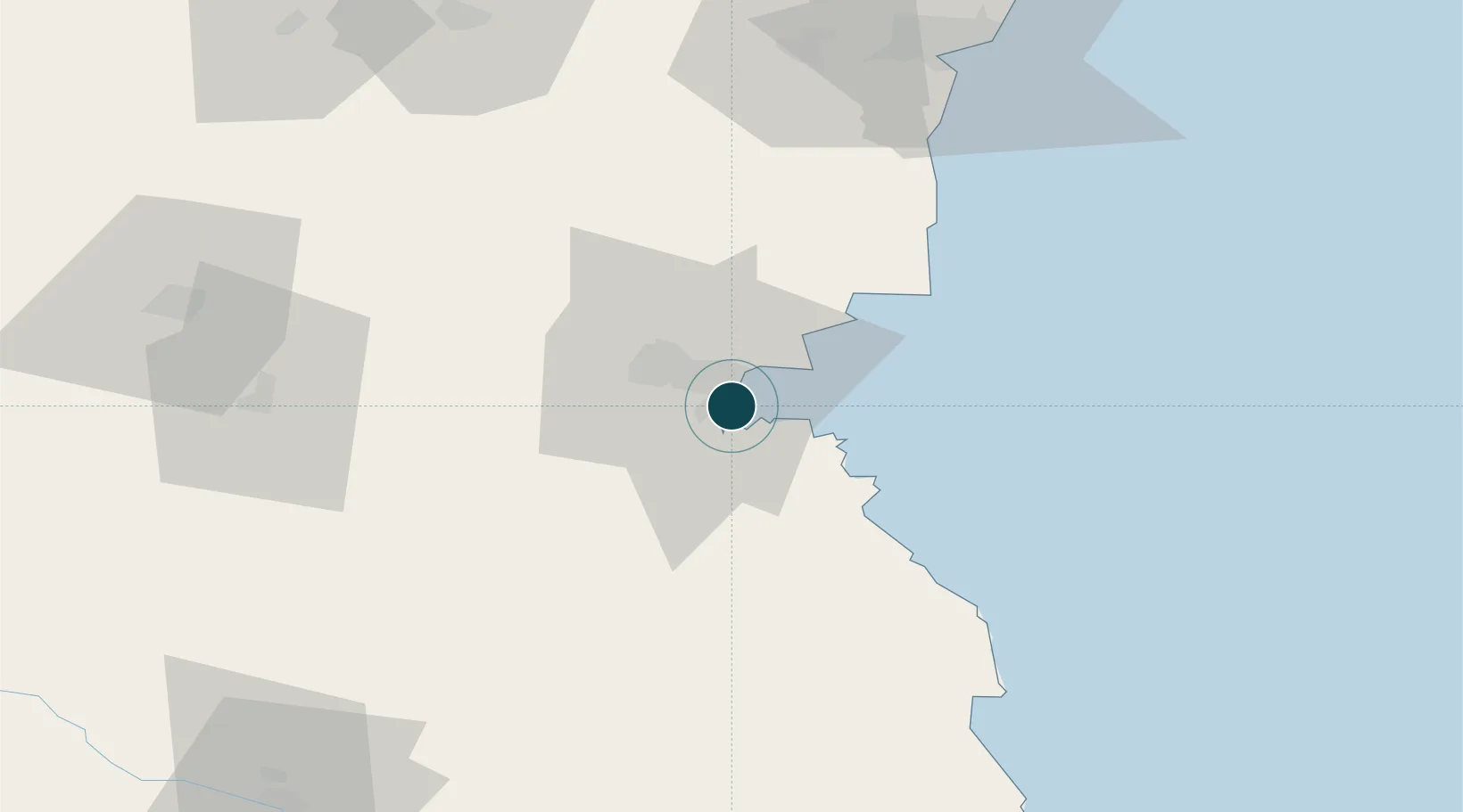
42.4833°, 27.4833°
15.0 m
Channel depth
1
Container terminals
37.2
Port liner connectivity
Channel & Berth Profile
Pilotage, Tugs & Services
Pilotage compulsoryYES
Pilotage availableYES
Pilotage advisableYES
Tug assistanceYES
Potable waterYES
Diesel bunkersYES
MedicalYES
Garbage disposalYES
Facilities & Capabilities
ContainerYES
Ro-Ro—
Liquid bulkYES
Dry bulkYES
Oil terminal—
Break bulkYES
Dry dockNO
RepairsNO
BunkeringYES
Rail linkYES
Dangerous cargo—
ISPS securityYES
Harbour Specifications
Harbour size
Small
Harbour type
Coastal (Breakwater)
Shelter
Fair
Water body
Black Sea; North Atlantic Ocean
Overhead limit
No
Pilotage
Yes
Liner Connectivity
37.2
PLSCI
Port Liner Shipping Connectivity Index for Burgas, as published by UNCTAD for the latest available quarter. Higher values indicate stronger scheduled liner-shipping integration.
Shown relative to the highest per-port PLSCI in the dataset (1,657.9).
Location
Container Terminals · 1
ADVANCE CONTAINER TERMINAL BURGAS
ACT BMF PORT BURGAS JSC
Nearby Logistics Neighbours
Airports
- 1Burgas Airport10 km
- 2Varna Airport88 km
- 3Bezmer Air Base93 km
- 4Balchik Airfield119 km
- 5Tekirdağ Çorlu Airport154 km
Trade Zones
DatabookThe Record of Consolidated Knowledge
Bulgaria beyond logistics?