UN/LOCODE hub · Romania
ROLRM

Lancram

45.9833°, 23.5500°
1,487
Population
2
Transport functions

Transport Functions

Rail
Road
UN/LOCODE

Hub Profile

Place type
Populated place
GeoNames
Region
Alba County
GeoNames
Population
1,487
GeoNames
Time zone
Europe/Bucharest
GeoNames
Elevation
238 m
GeoNames

Location

Location of ROLRM
Natural Earth 10m (public domain) · Alba County · ROLRM · 45.98, 23.55GoogleOSMYandex

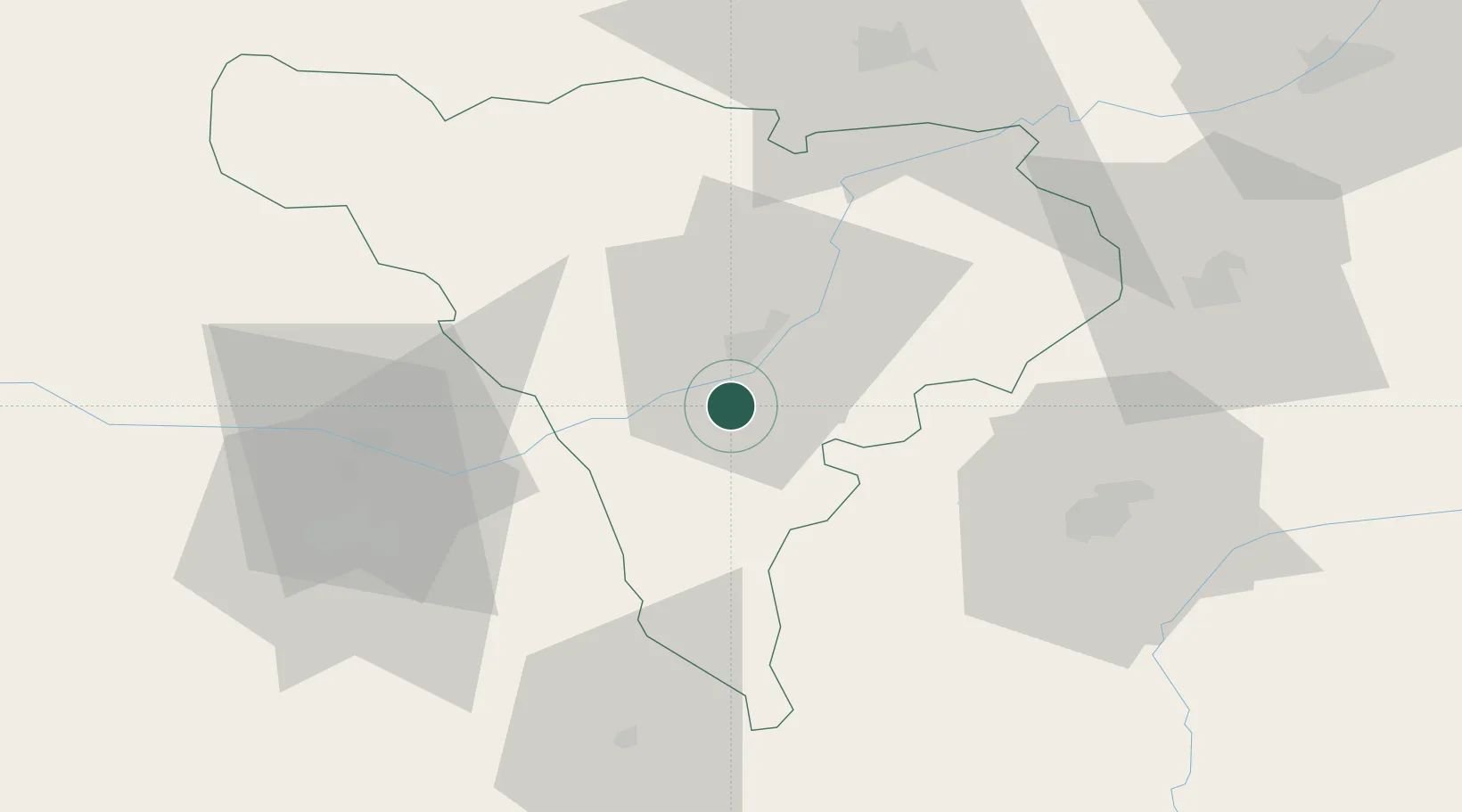
Nearby Logistics Neighbours

Cities
  1. 1Sîntimbru18 km
  2. 2Miercurea Sibiului22 km
  3. 3Blaj36 km
  4. 4Bocsa41 km
  5. 5Simeria43 km
Nearest neighbours — logibook spatial index (haversine) over the source coordinates
Ports
  1. 1Braila354 km
  2. 2Varna468 km
  3. 3Burgas500 km
  4. 4Risan546 km
  5. 5Kotor550 km
Nearest neighbours — logibook spatial index (haversine) over the source coordinates
Airports
  1. 1Sibiu International Airport47 km
  2. 2Câmpia Turzii Air Base63 km
  3. 3Târgu Mureş Transilvania International Airport86 km
  4. 4Avram Iancu Cluj International Airport90 km
  5. 5Caransebeş Airport119 km
Nearest neighbours — logibook spatial index (haversine) over the source coordinates
Trade Zones
  1. 1VGP Park Sibiu46 km
  2. 2VGP Park Brasov159 km
  3. 3Free Zone Curtici Arad179 km
  4. 4VGP Park Arad180 km
  5. 5VGP Park Timisoara185 km
Nearest neighbours — logibook spatial index (haversine) over the source coordinates
DatabookThe Record of Consolidated Knowledge
Romania beyond logistics?
Browse databook

All Sources

LocationsUN/LOCODE
UN/LOCODE — free
LocationsGeoNames
CC BY 4.0
Portsthe NGA World Port Index
Public domain (US gov)
AirportsOurAirports
Public domain
Trade Zonesthe World Bank SEZ database
CC BY 4.0
Trade ZonesOpen Zone Map
CC BY
← Romania locations