Large airport · Romania

Avram Iancu Cluj International AirportLRCL
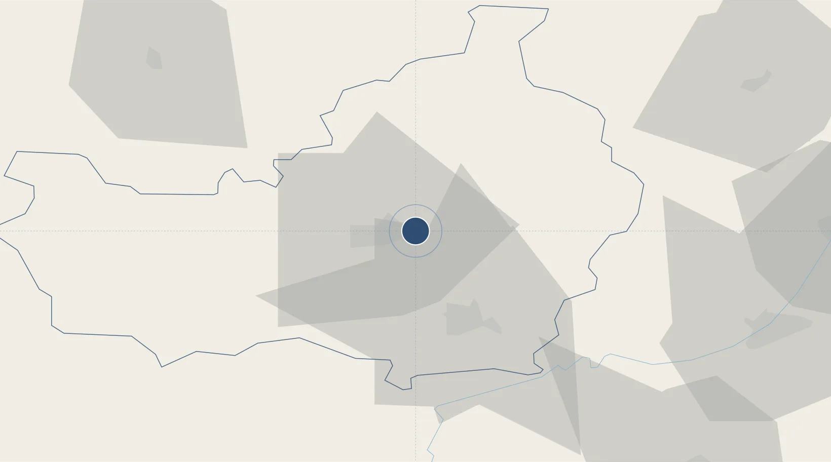
46.7860°, 23.6857°
6,693 ft
Longest runway
2
Runways
1,039 ft
Elevation

Runway & Layout

Avram Iancu Cluj International Airport runway & taxiway layout
Runway & taxiway layout — OpenStreetMap (ODbL) / OurAirports

Radio Frequencies

ATIS
125.525 MHz
Cluj ATIS
TWR
118.705 MHz
Cluj Tower
APP
126.43 MHz
NAPOC Approach
GCA
118.7 MHz
PRECISION
TWR ALTN
134.4 MHz
OurAirports

Navaids

CLJ VOR-DME Cluj 111.20 MHz
OurAirports

Runways · 2

RunwayDimensions SurfaceTrue headingLit
07/25 6,693 × 148ft Concrete 079°
08/26 Unknown
OurAirports

Airport Specifications

IATA code
CLJ
OurAirports
ICAO code
LRCL
OurAirports
Airport class
Large airport
OurAirports
Scheduled service
Yes
OurAirports
Runway surface
Concrete
OurAirports
Served city
Cluj-Napoca
OurAirports

Location

Location of LRCL
Natural Earth 10m (public domain) · Cluj · LRCL · 46.79, 23.69GoogleOSMYandex

Nearby Logistics Neighbours

Airports
  1. 1Câmpia Turzii Air Base35 km
  2. 2Târgu Mureş Transilvania International Airport66 km
  3. 3Maramureș International Airport98 km
  4. 4Sibiu International Airport115 km
  5. 5Satu Mare International Airport119 km
Nearest neighbours — logibook spatial index (haversine) over the source coordinates
Cities
  1. 1Cluj-Napoca7 km
  2. 2Jucu-Herghelia11 km
  3. 3Baciu, Cluj13 km
  4. 4Tureni19 km
  5. 5Turda26 km
Nearest neighbours — logibook spatial index (haversine) over the source coordinates
Ports
  1. 1Galati372 km
  2. 2Braila373 km
  3. 3Reni386 km
  4. 4Izmayil430 km
  5. 5Tulcea435 km
Nearest neighbours — logibook spatial index (haversine) over the source coordinates
Trade Zones
  1. 1VGP Park Sibiu115 km
  2. 2Free Zone Curtici Arad190 km
  3. 3VGP Park Brasov191 km
  4. 4VGP Park Arad200 km
  5. 5Customs Free Zone Zahony213 km
Nearest neighbours — logibook spatial index (haversine) over the source coordinates
DatabookThe Record of Consolidated Knowledge
Romania beyond logistics?
Browse databook

All Sources

AirportsOurAirports
Public domain
Portsthe NGA World Port Index
Public domain (US gov)
LocationsUN/LOCODE
UN/LOCODE — free
Trade Zonesthe World Bank SEZ database
CC BY 4.0
Trade ZonesOpen Zone Map
CC BY
InfrastructureOpenStreetMap
ODbL 1.0
← Romania airports