UN/LOCODE hub · Romania
ROSEL

Selimbar

45.7667°, 24.2000°
4,829
Population
1
Transport functions

Transport Functions

Multimodal
UN/LOCODE

Hub Profile

Place type
Provincial seat
GeoNames
Region
Sibiu County
GeoNames
Population
4,829
GeoNames
Time zone
Europe/Bucharest
GeoNames
Elevation
403 m
GeoNames

Location

Location of ROSEL
Natural Earth 10m (public domain) · Sibiu County · ROSEL · 45.77, 24.20GoogleOSMYandex

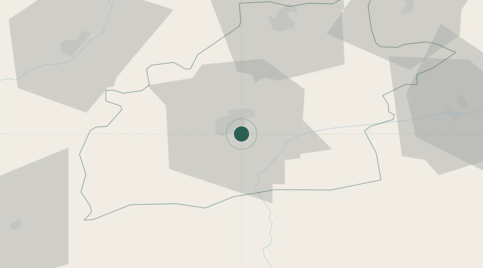
Nearby Logistics Neighbours

Cities
  1. 1Sura Mica13 km
  2. 2Avrig15 km
  3. 3Miercurea Sibiului34 km
  4. 4Victoria38 km
  5. 5Baiculesti40 km
Nearest neighbours — logibook spatial index (haversine) over the source coordinates
Ports
  1. 1Braila300 km
  2. 2Galati305 km
  3. 3Reni321 km
  4. 4Cernavoda342 km
  5. 5Medgidia361 km
Nearest neighbours — logibook spatial index (haversine) over the source coordinates
Airports
  1. 1Sibiu International Airport9 km
  2. 2Târgu Mureş Transilvania International Airport80 km
  3. 3Câmpia Turzii Air Base85 km
  4. 4Brașov-Ghimbav International Airport103 km
  5. 5Avram Iancu Cluj International Airport120 km
Nearest neighbours — logibook spatial index (haversine) over the source coordinates
Trade Zones
  1. 1VGP Park Sibiu10 km
  2. 2VGP Park Brasov106 km
  3. 3VGP Park Buharest North199 km
  4. 4Free Zone Galați225 km
  5. 5Free Zone Giurgiu250 km
Nearest neighbours — logibook spatial index (haversine) over the source coordinates
DatabookThe Record of Consolidated Knowledge
Romania beyond logistics?
Browse databook

All Sources

LocationsUN/LOCODE
UN/LOCODE — free
LocationsGeoNames
CC BY 4.0
Portsthe NGA World Port Index
Public domain (US gov)
AirportsOurAirports
Public domain
Trade Zonesthe World Bank SEZ database
CC BY 4.0
Trade ZonesOpen Zone Map
CC BY
← Romania locations