Seaport · Bulgaria
VarnaBGVAR
43.1833°, 27.9667°
9.4 m
Channel depth
2
Container terminals
46.2
Port liner connectivity
Channel & Berth Profile
Pilotage, Tugs & Services
Pilotage compulsoryYES
Pilotage availableYES
Pilotage advisableYES
Tug assistanceYES
Salvage tugsYES
Potable waterYES
Diesel bunkersYES
MedicalYES
Garbage disposalYES
Facilities & Capabilities
ContainerYES
Ro-RoYES
Liquid bulkYES
Dry bulkYES
Oil terminalYES
Break bulkYES
Dry dockNO
RepairsNO
BunkeringYES
Rail linkYES
Dangerous cargo—
ISPS security—
Harbour Specifications
Harbour size
Large
Harbour type
Coastal (Breakwater)
Shelter
Good
Water body
Black Sea; North Atlantic Ocean
Overhead limit
Yes
Pilotage
Yes
Liner Connectivity
46.2
PLSCI
Port Liner Shipping Connectivity Index for Varna, as published by UNCTAD for the latest available quarter. Higher values indicate stronger scheduled liner-shipping integration.
Shown relative to the highest per-port PLSCI in the dataset (1,657.9).
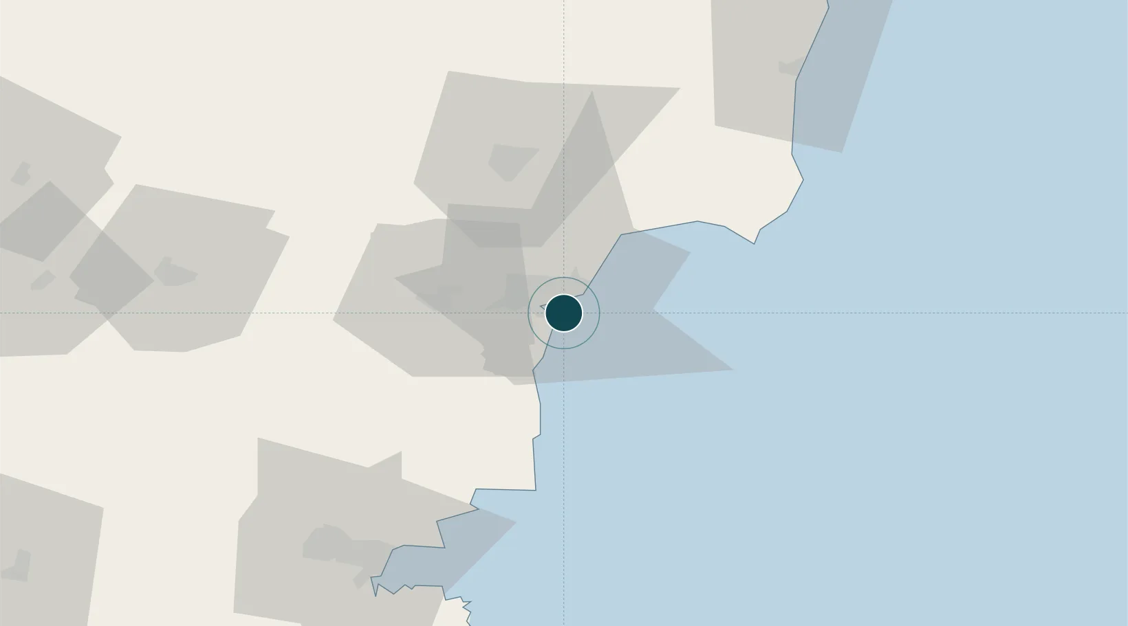
Location
Container Terminals · 2
VARNA EAST PORT TERMINAL
EPT PORT OF VARNA EAD
VARNA WEST PORT CONTAINER TERMINAL
WPT PORT OF VARNA EAD
Nearby Logistics Neighbours
Cities
- 1Valchi Dol14 km
- 2Ignatievo18 km
- 3Balchik31 km
- 4Nessebar62 km
- 5Bata63 km
Airports
- 1Varna Airport13 km
- 2Balchik Airfield32 km
- 3Burgas Airport78 km
- 4Feteşti Borcea Air Base136 km
- 5Mihail Kogălniceanu International Airport138 km
Trade Zones
- 1Bourgas Free Economic Zone87 km
- 2Free Zone Constanō£a Sud si Basarabi105 km
- 3Kirklareli Organized Industrial Zone174 km
- 4Rousse Free Zone175 km
- 5Free Zone Giurgiu180 km
DatabookThe Record of Consolidated Knowledge
Bulgaria beyond logistics?