Transport Functions
Rail
Road
Hub Profile
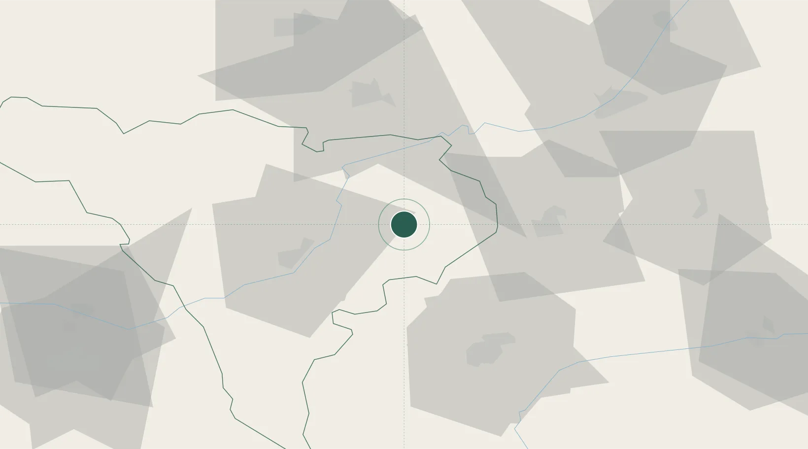
Place type
Provincial seat
Region
Alba County
Population
20,371
Time zone
Europe/Bucharest
Elevation
246 m
Location
Nearby Logistics Neighbours
Cities
- 1Sîntimbru21 km
- 2Unirea26 km
- 3Miercurea Sibiului35 km
- 4Lancram36 km
- 5Ludus36 km
Airports
Trade Zones
- 1VGP Park Sibiu46 km
- 2VGP Park Brasov139 km
- 3Free Zone Curtici Arad203 km
- 4VGP Park Arad206 km
- 5VGP Park Timisoara216 km
DatabookThe Record of Consolidated Knowledge
Romania beyond logistics?