Export Processing Zone · Romania

VGP Park Sibiu Active
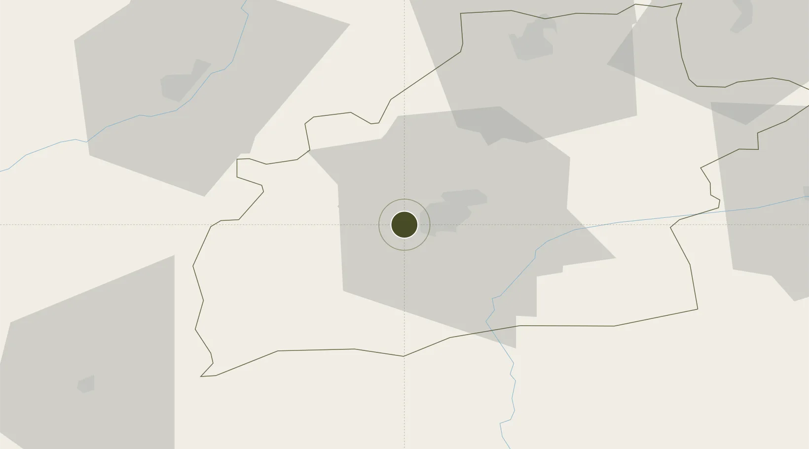
45.7831°, 24.0698°
920 ha
Zone area
310.6 km
Nearest port
1.3 km
Nearest airport

Gateway access

Nearest neighbours — logibook spatial index (haversine) over the source coordinates

Zone profile

Zone type
Export Processing Zone
Open Zone Map
Region
Sibiu
Open Zone Map
Status
Active
Open Zone Map
Management
Private
Open Zone Map
Operator
VGP Group
Open Zone Map
Legal framework
Government Urgency Ordinance no.31/1997 (Regime of Foreign Investments in Romania), Law no. 332/2001 (Promotion of FDI with Significant Impact on the Economy), Law no.84/1992 (Regime of Free Zones in Romania)
Open Zone Map

Location

Location of ozm-3987
Natural Earth 10m (public domain) · Sibiu · ozm-3987 · 45.78, 24.07GoogleOSMYandex

Nearby Logistics Neighbours

Ports
  1. 1Braila311 km
  2. 2Galati315 km
  3. 3Reni331 km
  4. 4Cernavoda352 km
  5. 5Medgidia371 km
Nearest neighbours — logibook spatial index (haversine) over the source coordinates
Airports
  1. 1Sibiu International Airport1 km
  2. 2Târgu Mureş Transilvania International Airport81 km
  3. 3Câmpia Turzii Air Base81 km
  4. 4Brașov-Ghimbav International Airport113 km
  5. 5Avram Iancu Cluj International Airport115 km
Nearest neighbours — logibook spatial index (haversine) over the source coordinates
Cities
  1. 1Sura Mica6 km
  2. 2Selimbar10 km
  3. 3Miercurea Sibiului24 km
  4. 4Avrig25 km
  5. 5Lancram46 km
Nearest neighbours — logibook spatial index (haversine) over the source coordinates
Trade Zones
  1. 1VGP Park Brasov116 km
  2. 2VGP Park Buharest North207 km
  3. 3Free Zone Galați235 km
  4. 4Free Zone Giurgiu258 km
  5. 5Rousse Free Zone261 km
Nearest neighbours — logibook spatial index (haversine) over the source coordinates
DatabookThe Record of Consolidated Knowledge
Romania beyond logistics?
Browse databook

All Sources

Trade ZonesOpen Zone Map
CC BY
Portsthe NGA World Port Index
Public domain (US gov)
AirportsOurAirports
Public domain
LocationsUN/LOCODE
UN/LOCODE — free
← Romania trade zones