Export Processing Zone · Romania

VGP Park Brasov Active
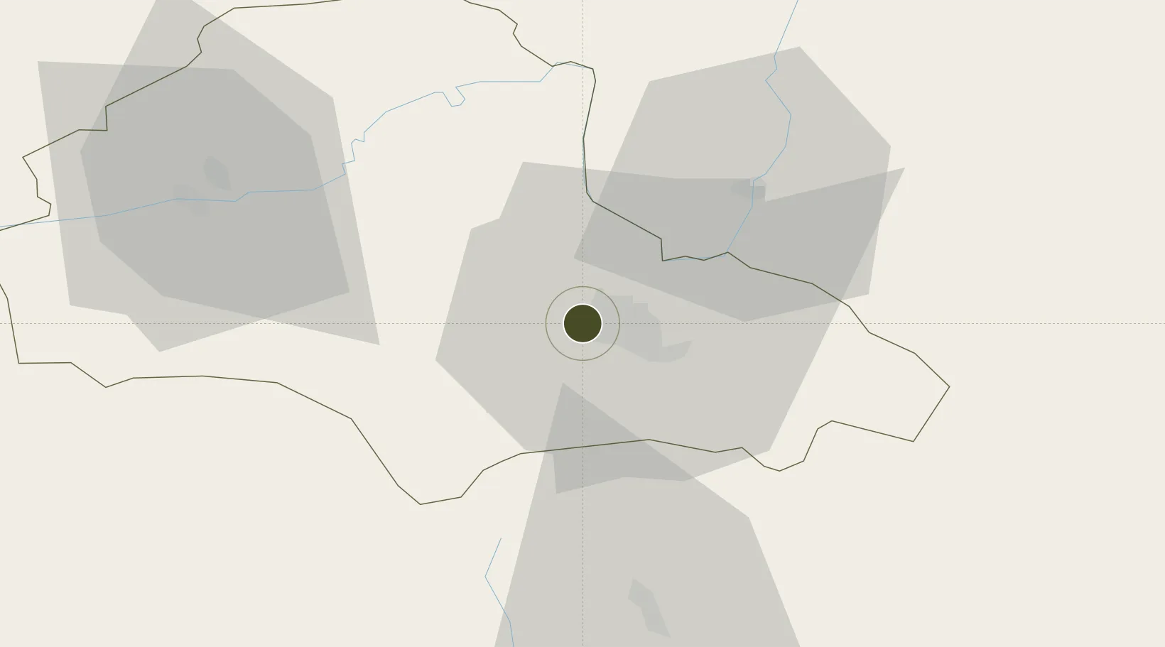
45.6585°, 25.5518°
1,769 ha
Zone area
195.0 km
Nearest port
5.7 km
Nearest airport

Gateway access

Nearest neighbours — logibook spatial index (haversine) over the source coordinates

Zone profile

Zone type
Export Processing Zone
Open Zone Map
Region
Brasov
Open Zone Map
Status
Active
Open Zone Map
Management
Private
Open Zone Map
Operator
VGP Group
Open Zone Map
Legal framework
Government Urgency Ordinance no.31/1997 (Regime of Foreign Investments in Romania), Law no. 332/2001 (Promotion of FDI with Significant Impact on the Economy), Law no.84/1992 (Regime of Free Zones in Romania)
Open Zone Map

Location

Location of ozm-3989
Natural Earth 10m (public domain) · Brasov · ozm-3989 · 45.66, 25.55GoogleOSMYandex

Nearby Logistics Neighbours

Ports
  1. 1Braila195 km
  2. 2Galati199 km
  3. 3Reni216 km
  4. 4Cernavoda246 km
  5. 5Izmayil260 km
Nearest neighbours — logibook spatial index (haversine) over the source coordinates
Airports
  1. 1Brașov-Ghimbav International Airport6 km
  2. 2Sibiu International Airport115 km
  3. 3Boboc Air Base122 km
  4. 4Târgu Mureş Transilvania International Airport126 km
  5. 5Bucharest Henri Coandă International Airport128 km
Nearest neighbours — logibook spatial index (haversine) over the source coordinates
Cities
  1. 1Codlea9 km
  2. 2Sacele11 km
  3. 3Halchiu12 km
  4. 4Prejmer18 km
  5. 5Zarnesti19 km
Nearest neighbours — logibook spatial index (haversine) over the source coordinates
Trade Zones
  1. 1VGP Park Sibiu116 km
  2. 2Free Zone Galați120 km
  3. 3VGP Park Buharest North135 km
  4. 4Free zone Brăila194 km
  5. 5Free Zone Giurgiu199 km
Nearest neighbours — logibook spatial index (haversine) over the source coordinates
DatabookThe Record of Consolidated Knowledge
Romania beyond logistics?
Browse databook

All Sources

Trade ZonesOpen Zone Map
CC BY
Portsthe NGA World Port Index
Public domain (US gov)
AirportsOurAirports
Public domain
LocationsUN/LOCODE
UN/LOCODE — free
← Romania trade zones