Transport Functions
Rail
Road
Hub Profile
Place type
Provincial seat
Region
Bihor County
Population
5,462
Time zone
Europe/Bucharest
Elevation
381 m
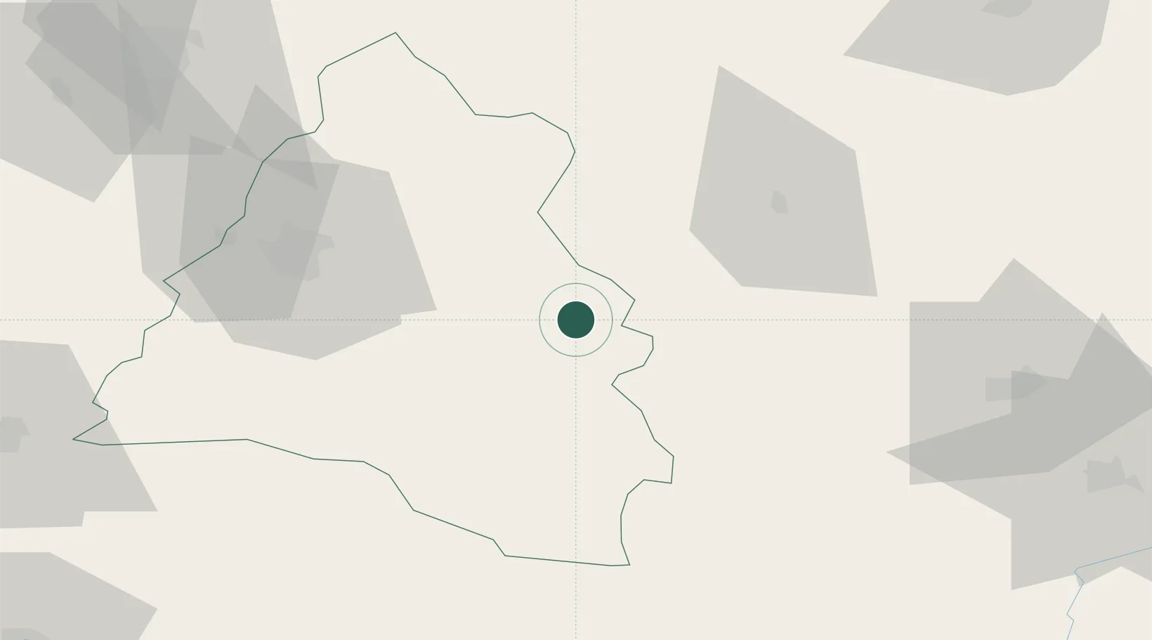
Location
Nearby Logistics Neighbours
Cities
- 1Tetchea24 km
- 2Tileagd33 km
- 3Huedin36 km
- 4Tiganesti37 km
- 5Pantasesti38 km
Airports
Trade Zones
- 1Free Zone Curtici Arad119 km
- 2VGP Park Arad133 km
- 3Customs Free Zone Zahony166 km
- 4VGP Park Timisoara167 km
- 5VGP Park Sibiu171 km
DatabookThe Record of Consolidated Knowledge
Romania beyond logistics?