Transport Functions
Road
Multimodal
Hub Profile
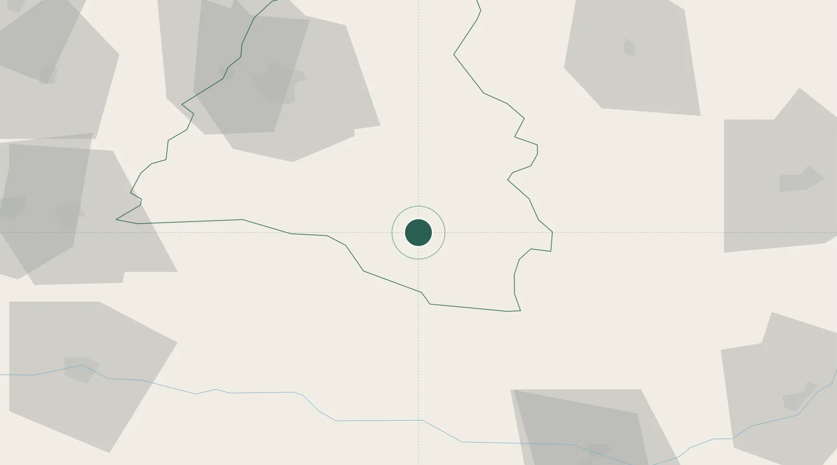
Place type
Populated place
Region
Bihor County
Population
186
Time zone
Europe/Bucharest
Elevation
210 m
Location
Nearby Logistics Neighbours
Airports
Trade Zones
- 1Free Zone Curtici Arad89 km
- 2VGP Park Arad101 km
- 3VGP Park Timisoara131 km
- 4VGP Park Sibiu160 km
- 5Customs Free Zone Zahony199 km
DatabookThe Record of Consolidated Knowledge
Romania beyond logistics?