Medium airport · Romania

Satu Mare International AirportLRSM
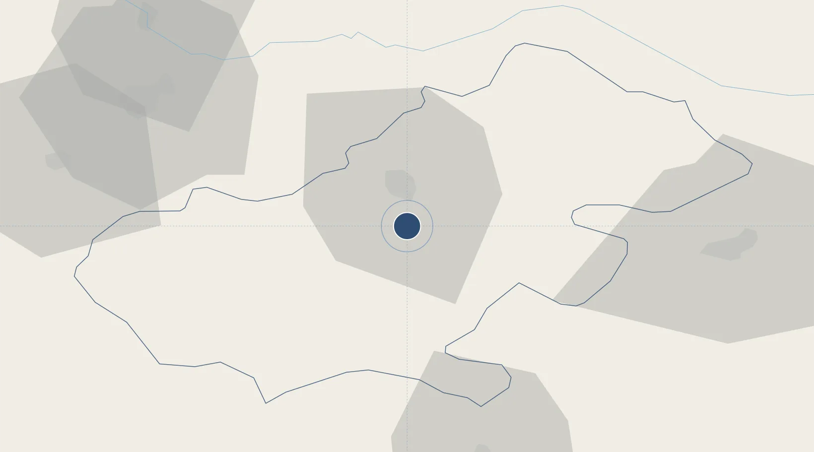
47.7033°, 22.8857°
8,160 ft
Longest runway
1
Runways
405 ft
Elevation

Runway & Layout

Satu Mare International Airport runway & taxiway layout
Runway & taxiway layout — OpenStreetMap (ODbL) / OurAirports

Radio Frequencies

TWR
118.8 MHz
APP
118.8 MHz
OurAirports

Navaids

SAT VOR-DME Satu Mare 108.40 MHz
SAT NDB Satu Mare 365 kHz
OurAirports

Runways · 1

RunwayDimensions SurfaceTrue headingLit
01/19 8,160 × 148ft Concrete 013°
OurAirports

Airport Specifications

IATA code
SUJ
OurAirports
ICAO code
LRSM
OurAirports
Airport class
Medium airport
OurAirports
Scheduled service
Yes
OurAirports
Runway surface
Concrete
OurAirports
Served city
Satu Mare
OurAirports

Location

Location of LRSM
Natural Earth 10m (public domain) · Satu Mare · LRSM · 47.70, 22.89GoogleOSMYandex

Nearby Logistics Neighbours

Airports
  1. 1Maramureș International Airport44 km
  2. 2Debrecen International Airport98 km
  3. 3Oradea International Airport106 km
  4. 4Uzhhorod International Airport113 km
  5. 5Avram Iancu Cluj International Airport119 km
Nearest neighbours — logibook spatial index (haversine) over the source coordinates
Cities
  1. 1Csenger21 km
  2. 2Mátészalka51 km
  3. 3Criseni54 km
  4. 4Varsolt56 km
  5. 5Abram57 km
Nearest neighbours — logibook spatial index (haversine) over the source coordinates
Ports
  1. 1Galati472 km
  2. 2Braila476 km
  3. 3Reni485 km
  4. 4Izmayil527 km
  5. 5Tulcea535 km
Nearest neighbours — logibook spatial index (haversine) over the source coordinates
Trade Zones
  1. 1Customs Free Zone Zahony95 km
  2. 2Transcarpathian Special Economic Zone (Zakarpattia)111 km
  3. 3Special Economic Zone Kurortopolis Truskavets181 km
  4. 4Free Zone Curtici Arad193 km
  5. 5VGP Park Arad211 km
Nearest neighbours — logibook spatial index (haversine) over the source coordinates
DatabookThe Record of Consolidated Knowledge
Romania beyond logistics?
Browse databook

All Sources

AirportsOurAirports
Public domain
Portsthe NGA World Port Index
Public domain (US gov)
LocationsUN/LOCODE
UN/LOCODE — free
Trade Zonesthe World Bank SEZ database
CC BY 4.0
Trade ZonesOpen Zone Map
CC BY
InfrastructureOpenStreetMap
ODbL 1.0
← Romania airports