Transport Functions
Rail
Road
Hub Profile
Place type
Provincial seat
Region
Bihor County
Population
6,994
Time zone
Europe/Bucharest
Elevation
172 m
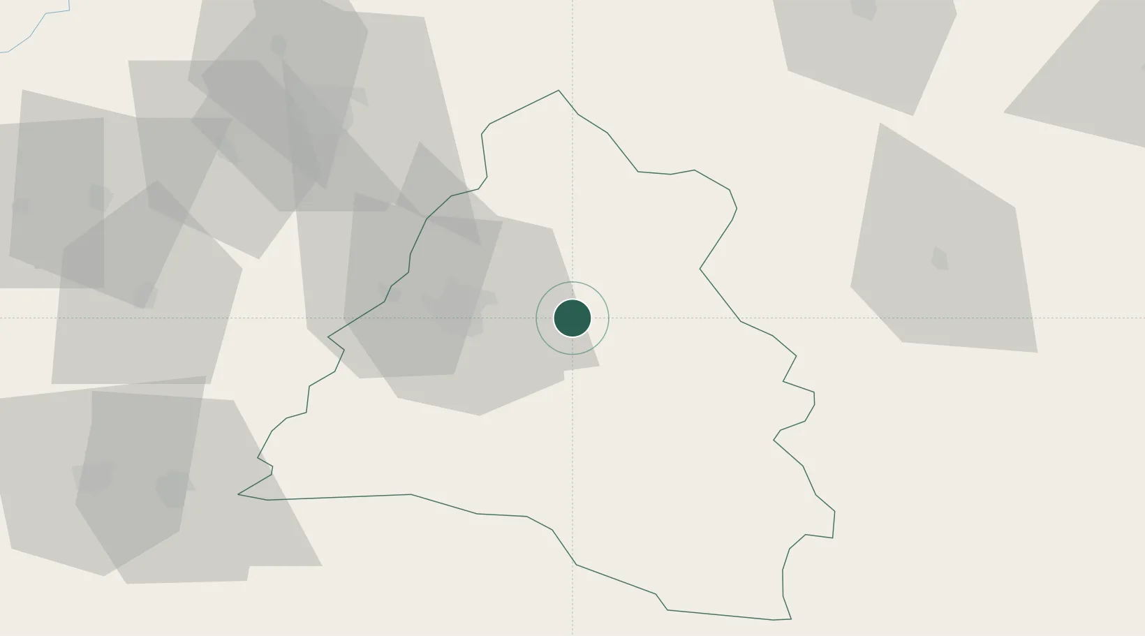
Location
Nearby Logistics Neighbours
Cities
- 1Tetchea9 km
- 2Oradea18 km
- 3Salard20 km
- 4Episcopia Bihorului23 km
- 5Abram31 km
Airports
Trade Zones
- 1Free Zone Curtici Arad106 km
- 2VGP Park Arad124 km
- 3Customs Free Zone Zahony148 km
- 4VGP Park Timisoara162 km
- 5Transcarpathian Special Economic Zone (Zakarpattia)173 km
DatabookThe Record of Consolidated Knowledge
Romania beyond logistics?