Transport Functions
Rail
Road
Hub Profile
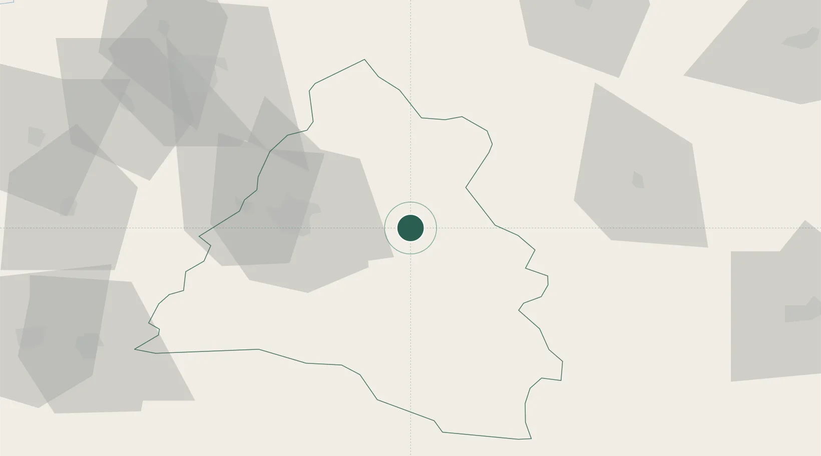
Place type
Populated place
Region
Bihor County
Population
794
Time zone
Europe/Bucharest
Elevation
211 m
Location
Nearby Logistics Neighbours
Airports
Trade Zones
- 1Free Zone Curtici Arad111 km
- 2VGP Park Arad128 km
- 3Customs Free Zone Zahony151 km
- 4VGP Park Timisoara165 km
- 5Transcarpathian Special Economic Zone (Zakarpattia)175 km
DatabookThe Record of Consolidated Knowledge
Romania beyond logistics?