Transport Functions
Rail
Road
Hub Profile
Place type
Urban district
Region
Bihor County
Time zone
Europe/Bucharest
Elevation
216 m
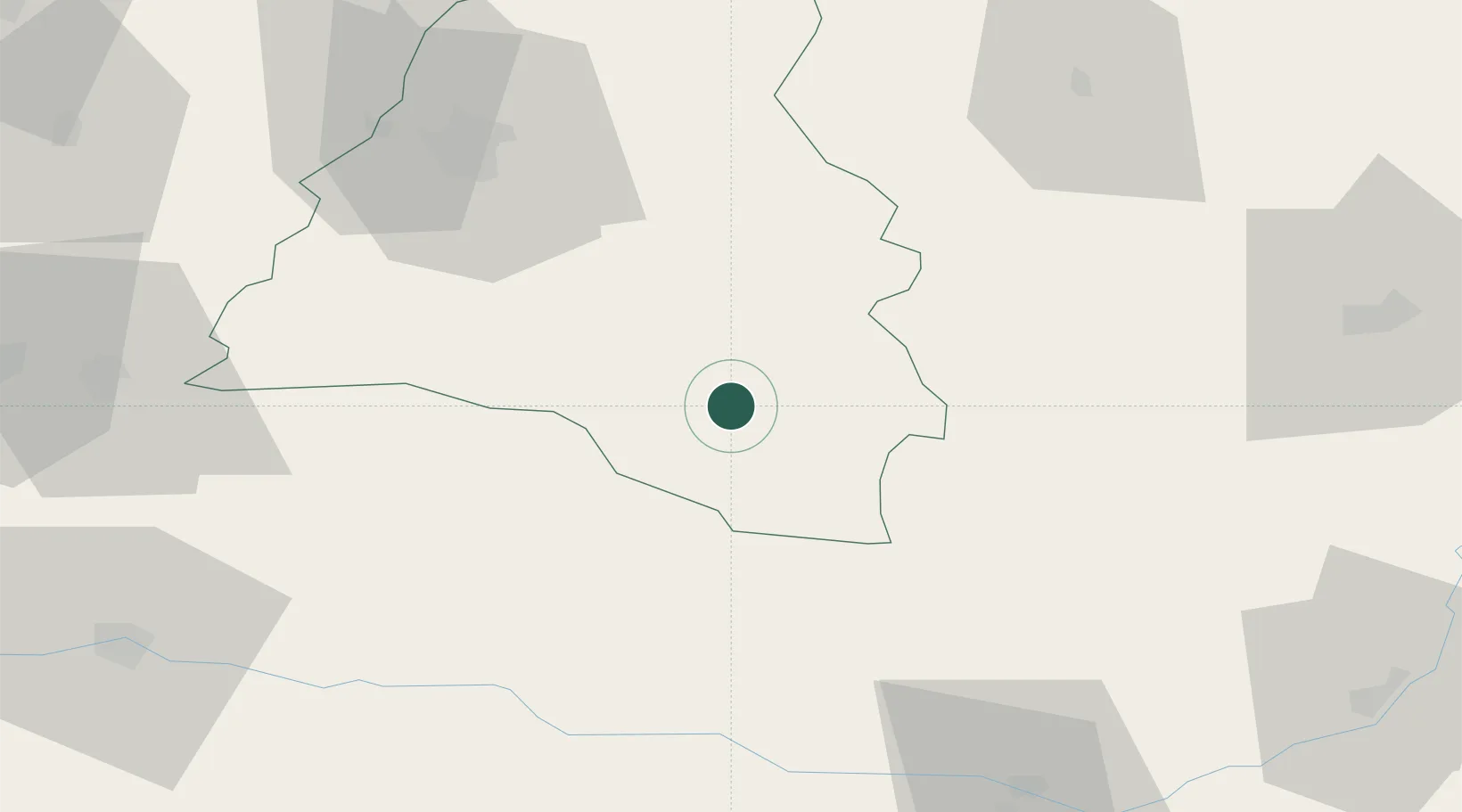
Location
Nearby Logistics Neighbours
Cities
- 1Pantasesti3 km
- 2Stei10 km
- 3Bratca37 km
- 4Tetchea49 km
- 5Tileagd53 km
Airports
Trade Zones
- 1Free Zone Curtici Arad92 km
- 2VGP Park Arad103 km
- 3VGP Park Timisoara132 km
- 4VGP Park Sibiu157 km
- 5Customs Free Zone Zahony199 km
DatabookThe Record of Consolidated Knowledge
Romania beyond logistics?