Medium airport · Romania

Maramureș International AirportLRBM
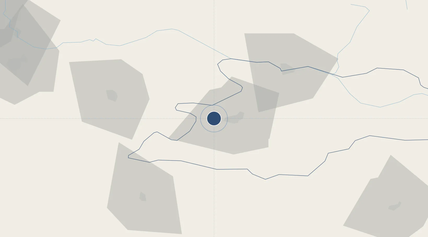
47.6584°, 23.4644°
7,054 ft
Longest runway
1
Runways
605 ft
Elevation

Runway & Layout

Maramureș International Airport runway & taxiway layout
Runway & taxiway layout — OpenStreetMap (ODbL) / OurAirports

Radio Frequencies

TWR
118.855 MHz
BAIA MARE TOWER
TWR ALTN
118.1 MHz
BAIA MARE TOWER
OurAirports

Navaids

BMR NDB Baia Mare 404 kHz
OurAirports

Runways · 1

RunwayDimensions SurfaceTrue headingLit
09/27 7,054 × 148ft Asphalt 099°
OurAirports

Airport Specifications

IATA code
BAY
OurAirports
ICAO code
LRBM
OurAirports
Airport class
Medium airport
OurAirports
Scheduled service
Yes
OurAirports
Runway surface
Asphalt
OurAirports
Served city
Tăuții-Măgherăuș
OurAirports

Location

Location of LRBM
Natural Earth 10m (public domain) · Maramures · LRBM · 47.66, 23.46GoogleOSMYandex

Nearby Logistics Neighbours

Airports
  1. 1Satu Mare International Airport44 km
  2. 2Avram Iancu Cluj International Airport98 km
  3. 3Câmpia Turzii Air Base133 km
  4. 4Oradea International Airport137 km
  5. 5Debrecen International Airport140 km
Nearest neighbours — logibook spatial index (haversine) over the source coordinates
Cities
  1. 1Tyachiv41 km
  2. 2Vadu Izei44 km
  3. 3Criseni57 km
  4. 4Zalau60 km
  5. 5Csenger62 km
Nearest neighbours — logibook spatial index (haversine) over the source coordinates
Ports
  1. 1Galati432 km
  2. 2Braila438 km
  3. 3Reni445 km
  4. 4Izmayil486 km
  5. 5Tulcea495 km
Nearest neighbours — logibook spatial index (haversine) over the source coordinates
Trade Zones
  1. 1Customs Free Zone Zahony128 km
  2. 2Transcarpathian Special Economic Zone (Zakarpattia)138 km
  3. 3Special Economic Zone Kurortopolis Truskavets180 km
  4. 4VGP Park Sibiu214 km
  5. 5Free Zone Curtici Arad220 km
Nearest neighbours — logibook spatial index (haversine) over the source coordinates
DatabookThe Record of Consolidated Knowledge
Romania beyond logistics?
Browse databook

All Sources

AirportsOurAirports
Public domain
Portsthe NGA World Port Index
Public domain (US gov)
LocationsUN/LOCODE
UN/LOCODE — free
Trade Zonesthe World Bank SEZ database
CC BY 4.0
Trade ZonesOpen Zone Map
CC BY
InfrastructureOpenStreetMap
ODbL 1.0
← Romania airports