Transport Functions
Multimodal
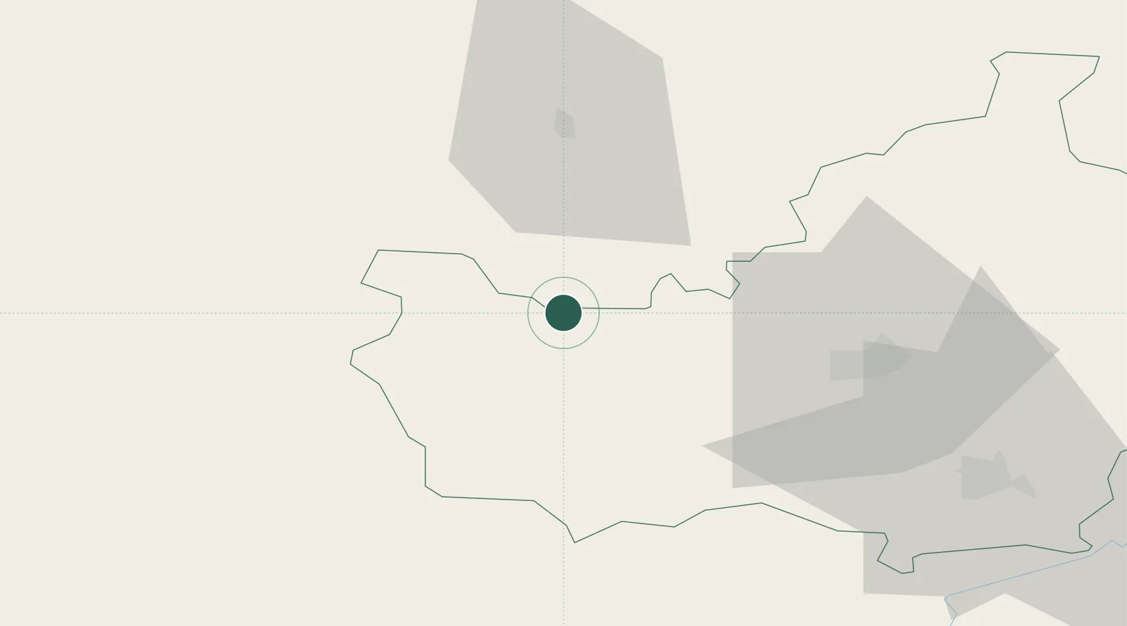
Hub Profile
Place type
Provincial seat
Region
Cluj County
Population
9,395
Time zone
Europe/Bucharest
Elevation
595 m
Location
Nearby Logistics Neighbours
Cities
- 1Bratca36 km
- 2Baciu, Cluj36 km
- 3Zalau37 km
- 4Varsolt38 km
- 5Criseni41 km
Airports
Trade Zones
- 1VGP Park Sibiu144 km
- 2Free Zone Curtici Arad147 km
- 3VGP Park Arad159 km
- 4Customs Free Zone Zahony183 km
- 5VGP Park Timisoara187 km
DatabookThe Record of Consolidated Knowledge
Romania beyond logistics?