Seaport · Ukraine

ReniUARNI

45.4333°, 28.3000°
6.4 m
Channel depth
7.9
Port liner connectivity
Reni is also a UN/LOCODE logistics hub →

Channel & Berth Profile

SEA LEVEL (CD)CHANNEL BEDCargo pier · 3.4 mChannel · 6.4 mOil terminal · 6.4 mAnchorage · 9.4 m
NGA World Port Index

Pilotage, Tugs & Services

Pilotage compulsoryYES
Pilotage availableYES
Tug assistanceYES
Potable waterYES
Garbage disposalNO
NGA World Port Index

Facilities & Capabilities

Container
Ro-Ro
Liquid bulk
Dry bulk
Oil terminal
Break bulk
Dry dock
RepairsNO
BunkeringYES
Rail link
Dangerous cargo
ISPS security
NGA World Port Index

Harbour Specifications

Harbour size
Very Small
NGA World Port Index
Harbour type
River (Natural)
NGA World Port Index
Shelter
Fair
NGA World Port Index
Water body
Black Sea; North Atlantic Ocean
NGA World Port Index
Tidal range
6 m
NGA World Port Index
Pilotage
Yes
NGA World Port Index

Liner Connectivity

7.9
PLSCI

Port Liner Shipping Connectivity Index for Reni, as published by UNCTAD for the latest available quarter. Higher values indicate stronger scheduled liner-shipping integration.

Shown relative to the highest per-port PLSCI in the dataset (1,657.9).

UNCTAD · Port Liner Shipping Connectivity Index

Location

Location of UARNI
Natural Earth 10m (public domain) · Odessa · UARNI · 45.43, 28.30GoogleOSMYandex

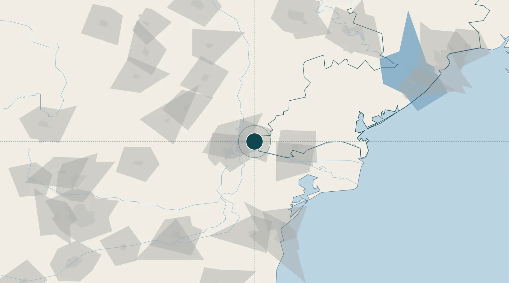
Nearby Logistics Neighbours

Ports
  1. 1Galati17 km
  2. 2Braila32 km
  3. 3Izmayil44 km
  4. 4Tulcea50 km
  5. 5Ust-Dunaisk109 km
Nearest neighbours — logibook spatial index (haversine) over the source coordinates
Cities
  1. 1Giurgiulesti10 km
  2. 2Galati20 km
  3. 3Isaccea23 km
  4. 4Macin23 km
  5. 5Braila31 km
Nearest neighbours — logibook spatial index (haversine) over the source coordinates
Airports
  1. 1Zhovtneve Air Base37 km
  2. 2Cahul International Airport46 km
  3. 3Tulcea Danube Delta Airport53 km
  4. 4Boboc Air Base106 km
  5. 5Mihail Kogălniceanu International Airport120 km
Nearest neighbours — logibook spatial index (haversine) over the source coordinates
Trade Zones
  1. 1Reni Special Economic Zone2 km
  2. 2Giurgiulesti International Free Port8 km
  3. 3Free zone Brăila31 km
  4. 4Free Enterprise Zone - Production Park Taraclia59 km
  5. 5Free Enterprise Zone Tvardita95 km
Nearest neighbours — logibook spatial index (haversine) over the source coordinates
DatabookThe Record of Consolidated Knowledge
Ukraine beyond logistics?
Browse databook

All Sources

Portsthe NGA World Port Index
Public domain (US gov)
Logistics performanceUNCTAD
CC BY 3.0 IGO
AirportsOurAirports
Public domain
LocationsUN/LOCODE
UN/LOCODE — free
Trade Zonesthe World Bank SEZ database
CC BY 4.0
Trade ZonesOpen Zone Map
CC BY
← Ukraine ports