Transport Functions
Rail
Road
Hub Profile
Place type
Provincial seat
Region
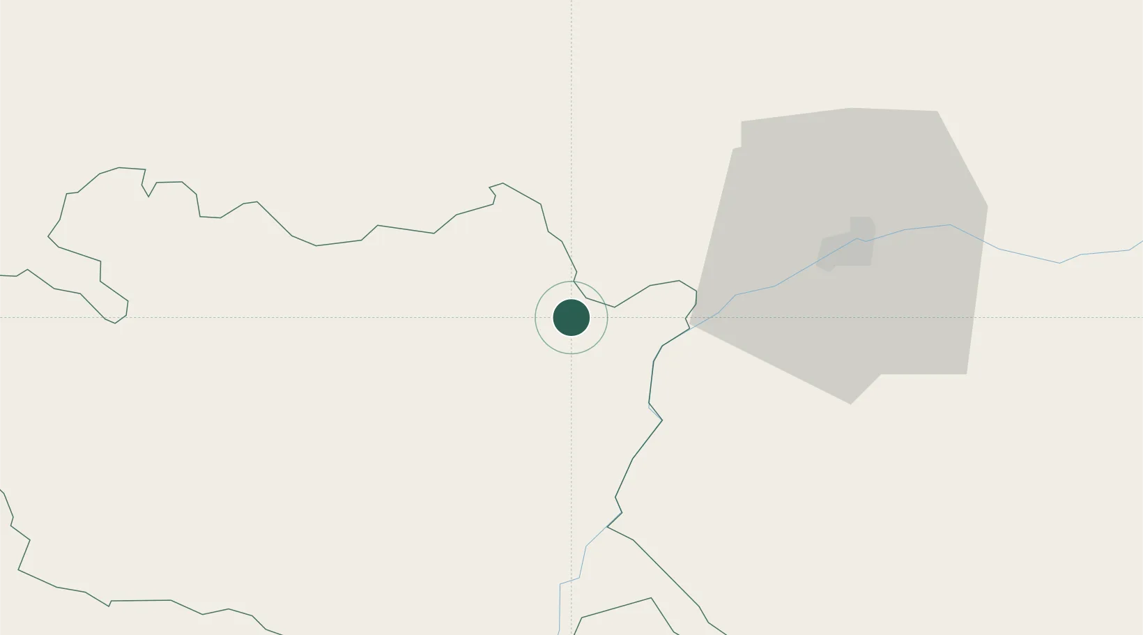
Évora
Population
8,319
Time zone
Europe/Lisbon
Elevation
403 m
Location
Nearby Logistics Neighbours
Ports
- 1Setubal132 km
- 2Lisboa152 km
- 3Sines157 km
- 4Huelva175 km
- 5Vila Real De S Antonio178 km
Airports
- 1Estremoz Municipal Heliport17 km
- 2Évora Airfield50 km
- 3Badajoz Airport53 km
- 4Aeródromo Municipal de Ponte de Sor73 km
- 5Beja Airport / Airbase90 km
Trade Zones
- 1Puerto de Huelva174 km
- 2Zona Franca de Sevilla203 km
- 3VGP Park Santa Maria da Feira258 km
- 4Zona Franca de Cádiz273 km
- 5Zona Livre Tecnológica Masotinhos287 km
DatabookThe Record of Consolidated Knowledge
Portugal beyond logistics?