Transport Functions
Rail
Road
Hub Profile
Place type
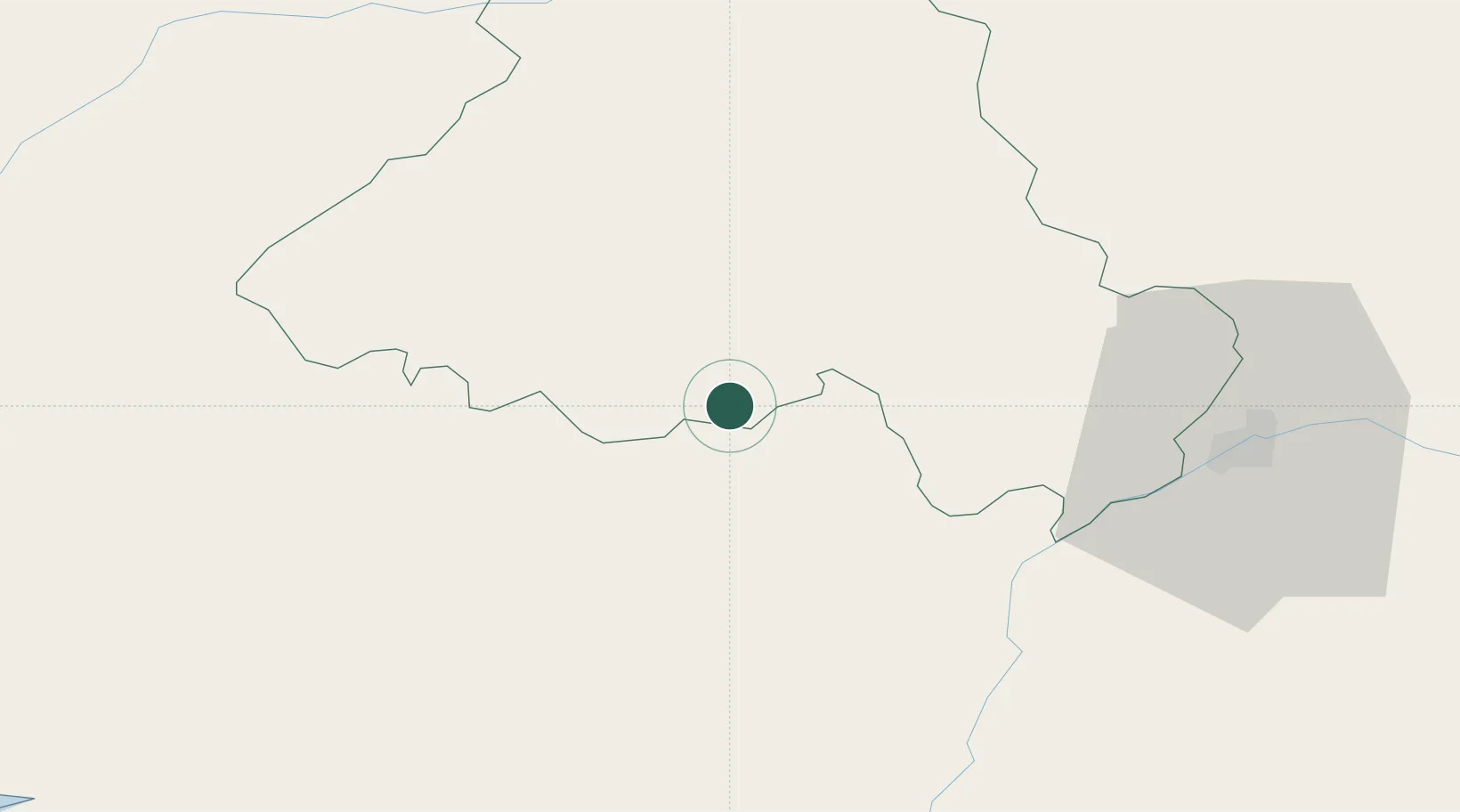
Populated place
Region
Portalegre
Time zone
Europe/Lisbon
Elevation
279 m
Location
Nearby Logistics Neighbours
Cities
- 1Fronteira11 km
- 2Estremoz13 km
- 3Cabeço de Vide22 km
- 4Borba25 km
- 5Vila Viçosa29 km
Ports
- 1Setubal117 km
- 2Lisboa133 km
- 3Sines153 km
- 4Figueira Da Foz168 km
- 5Vila Real De S Antonio198 km
Airports
- 1Estremoz Municipal Heliport15 km
- 2Aeródromo Municipal de Ponte de Sor45 km
- 3Évora Airfield50 km
- 4Badajoz Airport73 km
- 5Tancos Airbase84 km
Trade Zones
- 1Puerto de Huelva198 km
- 2Zona Franca de Sevilla231 km
- 3VGP Park Santa Maria da Feira233 km
- 4Zona Livre Tecnológica Masotinhos262 km
- 5Zona Franca de Cádiz299 km
DatabookThe Record of Consolidated Knowledge
Portugal beyond logistics?